UN/LOCODE hub · France
FRGPI
Saint-Léger-le-Petit
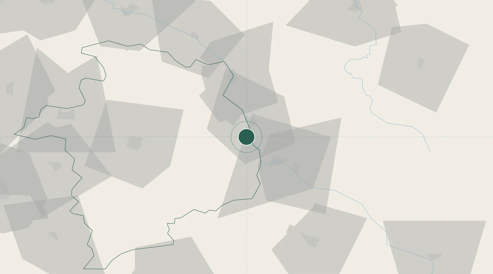
47.1167°, 3.0000°
354
Population
2
Transport functions
Transport Functions
Port
Road
Hub Profile
Place type
Populated place
Region
Centre-Val de Loire
Population
354
Time zone
Europe/Paris
Elevation
172 m
Location
Nearby Logistics Neighbours
Cities
- 1Pougues-les-Eaux7 km
- 2Raveau10 km
- 3Varennes-lès-Narcy14 km
- 4Nevers17 km
- 5Marzy18 km
Ports
- 1Port Of Rouen296 km
- 2Tonnay Charente326 km
- 3Honfleur328 km
- 4Rochefort330 km
- 5Deauville331 km
Airports
- 1Nevers-Fourchambault Airport15 km
- 2Avord (BA 702) Air Base29 km
- 3Bourges airport48 km
- 4Auxerre Branches airport90 km
- 5Châteauroux Déols airport101 km
Trade Zones
- 1ZFU Bourges51 km
- 2ZFU Orléans121 km
- 3ZFU Sens122 km
- 4ZFU Blois140 km
- 5ZFU Montereau-Fault-Yonne142 km
DatabookThe Record of Consolidated Knowledge
France beyond logistics?