Transport Functions
Rail
Road
Hub Profile
Place type
Populated place
Region
Centre-Val de Loire
Population
110
Time zone
Europe/Paris
Elevation
217 m
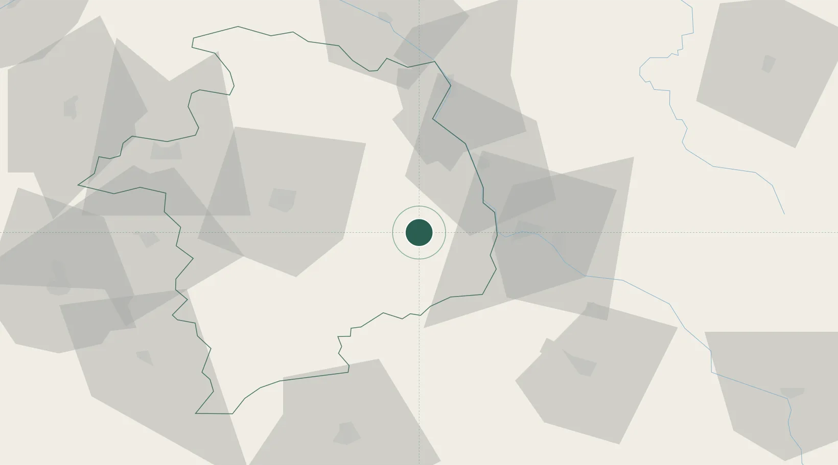
Location
Nearby Logistics Neighbours
Cities
- 1Tendron3 km
- 2Charly11 km
- 3Marzy19 km
- 4Crosses19 km
- 5Saint-Léger-le-Petit20 km
Ports
- 1Port Of Rouen304 km
- 2Tonnay Charente309 km
- 3Rochefort312 km
- 4La Rochelle318 km
- 5La Pallice323 km
Airports
- 1Avord (BA 702) Air Base17 km
- 2Nevers-Fourchambault Airport21 km
- 3Bourges airport36 km
- 4Châteauroux Déols airport85 km
- 5Montluçon-Guéret Airport92 km
Trade Zones
- 1ZFU Bourges40 km
- 2ZFU Orléans124 km
- 3ZFU Clermont-Ferrand134 km
- 4ZFU Blois135 km
- 5ZFU Sens139 km
DatabookThe Record of Consolidated Knowledge
France beyond logistics?