Transport Functions
Multimodal
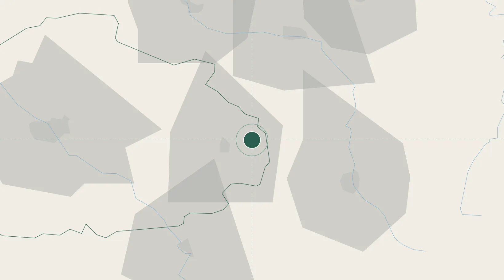
Hub Profile
Place type
Populated place
Region
Grand Est
Population
242
Time zone
Europe/Paris
Elevation
228 m
Location
Nearby Logistics Neighbours
Cities
- 1Saulcy3 km
- 2Engente4 km
- 3Rouvres-les-Vignes4 km
- 4Voigny5 km
- 5Arrentières5 km
Airports
Trade Zones
DatabookThe Record of Consolidated Knowledge
France beyond logistics?