Transport Functions
Rail
Road
Hub Profile
Place type
District seat
Region
Nouvelle-Aquitaine
Population
3,778
Time zone
Europe/Paris
Elevation
212 m
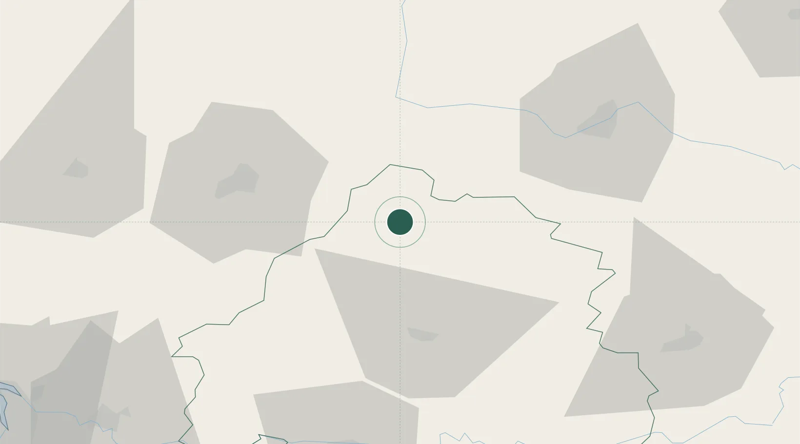
Location
Nearby Logistics Neighbours
Cities
- 1Laplume16 km
- 2Mareuil en Périgord19 km
- 3Édon25 km
- 4Oradour-sur-Vayres27 km
- 5Châlus28 km
Ports
- 1Ambes110 km
- 2Blaye113 km
- 3Pauillac117 km
- 4Bordeaux122 km
- 5Tonnay Charente130 km
Airports
Trade Zones
- 1Port de Bordeaux117 km
- 2ZFU Hauts de Garonne125 km
- 3ZFU La Rochelle161 km
- 4ZFU Clermont-Ferrand190 km
- 5ZFU Bourges214 km
DatabookThe Record of Consolidated Knowledge
France beyond logistics?