UN/LOCODE hub · France
FROSV
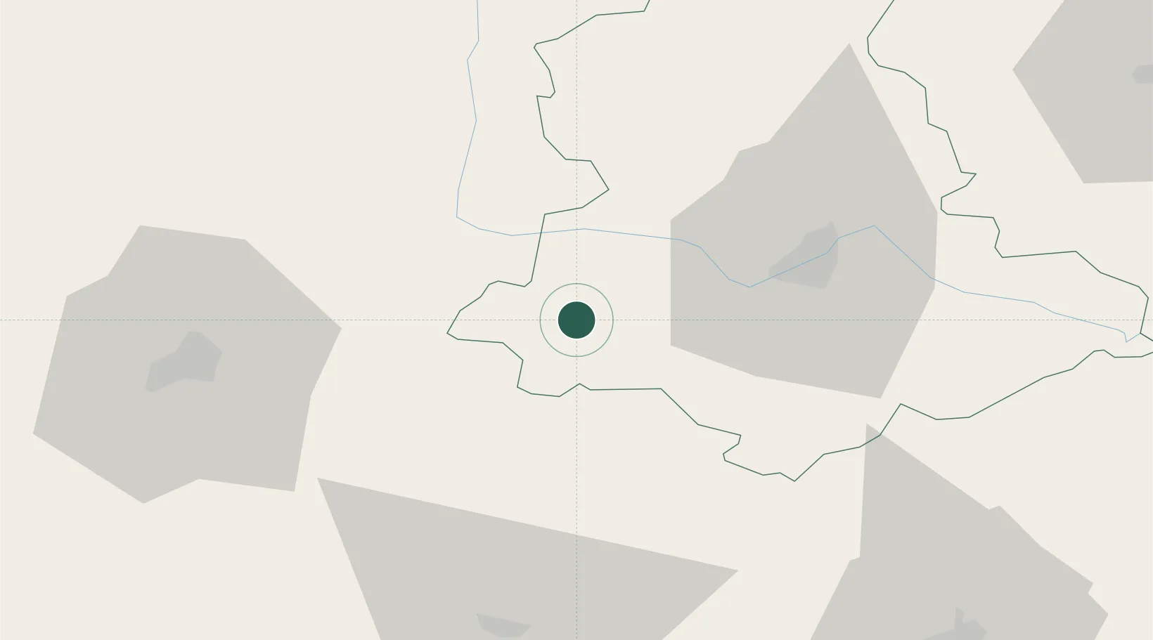
Oradour-sur-Vayres
45.7333°, 0.8667°
1,713
Population
2
Transport functions
Transport Functions
Road
Multimodal
Hub Profile
Place type
Populated place
Region
Nouvelle-Aquitaine
Population
1,713
Time zone
Europe/Paris
Elevation
354 m
Location
Nearby Logistics Neighbours
Cities
- 1Saint-Laurent-sur-Gorre8 km
- 2Champsac8 km
- 3Châlus13 km
- 4Chabanais19 km
- 5Aixe-sur-Vienne22 km
Ports
- 1Ambes135 km
- 2Blaye137 km
- 3Tonnay Charente139 km
- 4Pauillac139 km
- 5Rochefort143 km
Airports
Trade Zones
- 1Port de Bordeaux143 km
- 2ZFU Hauts de Garonne151 km
- 3ZFU La Rochelle168 km
- 4ZFU Clermont-Ferrand172 km
- 5ZFU Bourges187 km
DatabookThe Record of Consolidated Knowledge
France beyond logistics?