Transport Functions
Multimodal
Hub Profile
Place type
Populated place
Region
Nouvelle-Aquitaine
Population
237
Time zone
Europe/Paris
Elevation
148 m
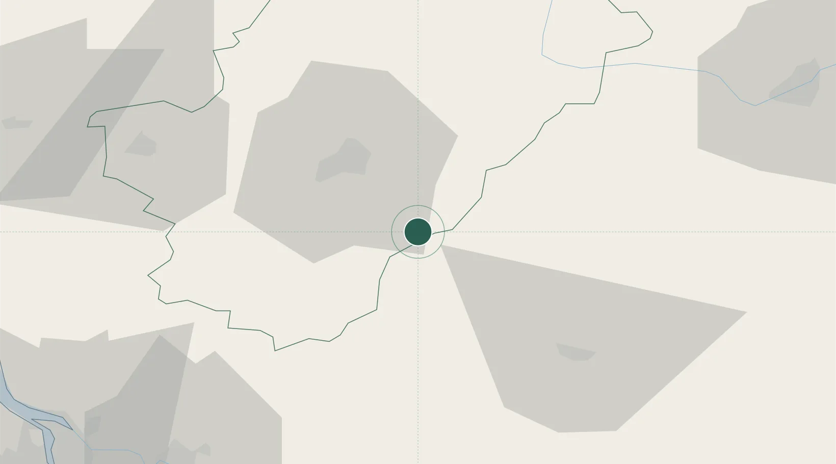
Location
Nearby Logistics Neighbours
Cities
- 1Champagne-et-Fontaine8 km
- 2Mareuil en Périgord9 km
- 3Dignac9 km
- 4Laplume14 km
- 5Verteillac15 km
Ports
- 1Ambes87 km
- 2Blaye89 km
- 3Pauillac92 km
- 4Bordeaux99 km
- 5Tonnay Charente109 km
Airports
Trade Zones
- 1Port de Bordeaux94 km
- 2ZFU Hauts de Garonne103 km
- 3ZFU La Rochelle143 km
- 4ZFU Clermont-Ferrand215 km
- 5ZFU Toulouse226 km
DatabookThe Record of Consolidated Knowledge
France beyond logistics?