Transport Functions
Multimodal
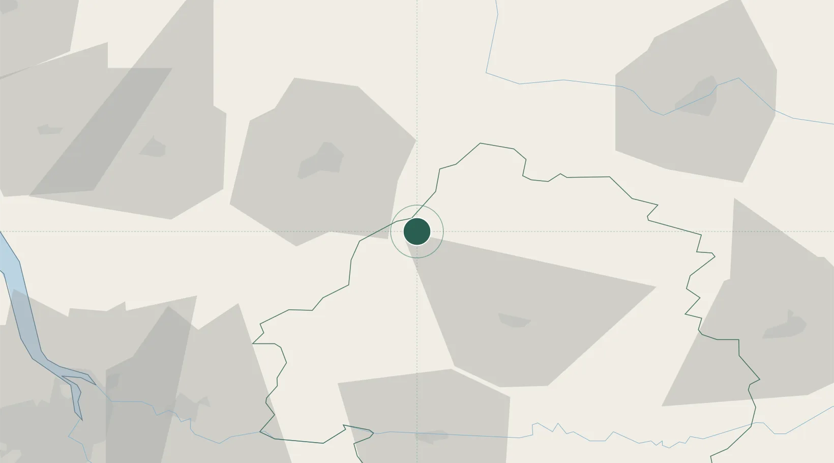
Hub Profile
Place type
Populated place
Region
Nouvelle-Aquitaine
Time zone
Europe/Paris
Elevation
160 m
Location
Nearby Logistics Neighbours
Cities
- 1Laplume6 km
- 2Édon9 km
- 3Champagne-et-Fontaine11 km
- 4Verteillac13 km
- 5Dignac17 km
Airports
Trade Zones
- 1Port de Bordeaux98 km
- 2ZFU Hauts de Garonne106 km
- 3ZFU La Rochelle151 km
- 4ZFU Clermont-Ferrand208 km
- 5ZFU Toulouse220 km
DatabookThe Record of Consolidated Knowledge
France beyond logistics?