Transport Functions
Road
Multimodal
Hub Profile
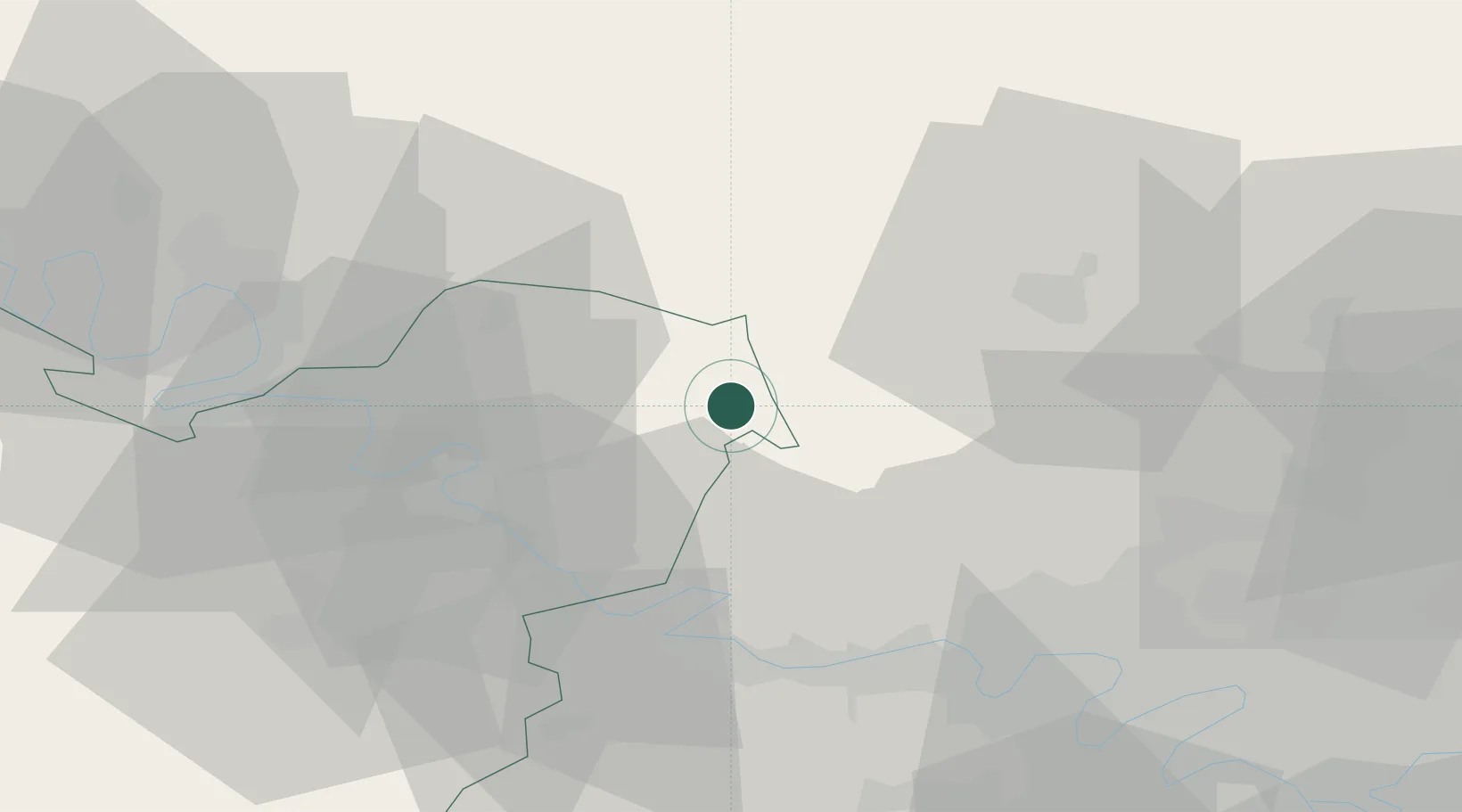
Place type
Populated place
Region
Normandy
Population
368
Time zone
Europe/Paris
Elevation
72 m
Location
Nearby Logistics Neighbours
Cities
- 1Bézu-Saint-Éloi0 km
- 2Étrépagny6 km
- 3Trie-Château10 km
- 4Chaumont-en-Vexin14 km
- 5Écos15 km
Ports
- 1Port Of Rouen49 km
- 2Dieppe83 km
- 3Le Treport89 km
- 4Saint-Valery-Sur-Somme98 km
- 5Honfleur108 km
Airports
Trade Zones
- 1ZFU Beauvais30 km
- 2ZFU Mantes-la-Jolie35 km
- 3ZFU Les Mureaux38 km
- 4ZFU Rouen Bihorel48 km
- 5ZFU Évreux50 km
DatabookThe Record of Consolidated Knowledge
France beyond logistics?