Transport Functions
Port
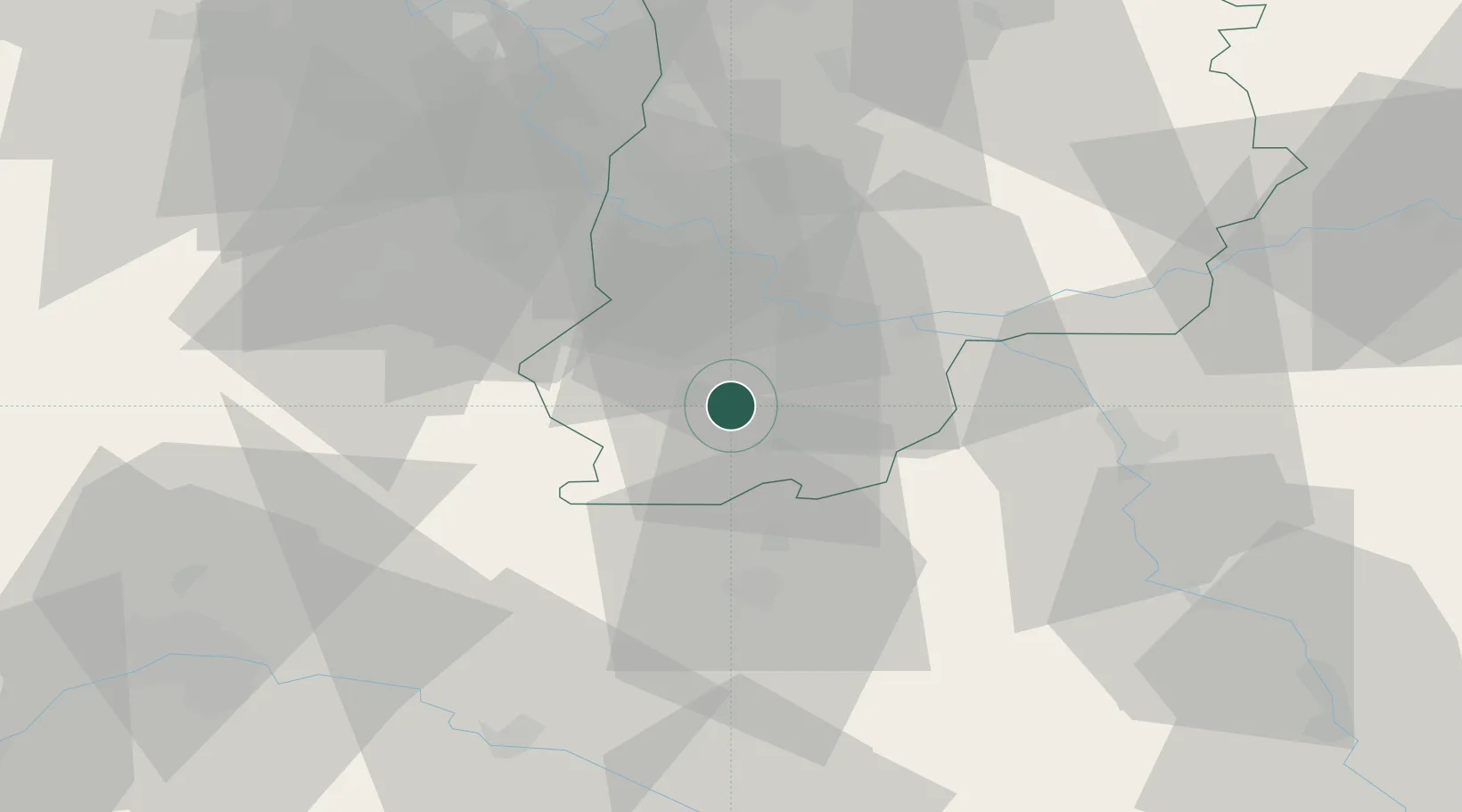
Hub Profile
Place type
Populated place
Region
Île-de-France
Population
13,933
Time zone
Europe/Paris
Elevation
57 m
Location
Nearby Logistics Neighbours
Cities
- 1Darvault3 km
- 2Montcourt-Fromonville4 km
- 3Bagneaux-sur-Loing4 km
- 4Grez-sur-Loing6 km
- 5Nanteau-sur-Lunain9 km
Ports
- 1Port Of Rouen178 km
- 2Dieppe220 km
- 3Honfleur222 km
- 4Le Treport222 km
- 5Saint-Valery-Sur-Somme227 km
Airports
- 1Melun-Villaroche Airfield38 km
- 2Paris-Orly Airport56 km
- 3Vélizy-Villacoublay Air Base67 km
- 4Toussus-le-Noble Airport70 km
- 5Auxerre Branches airport75 km
Trade Zones
- 1ZFU Montereau-Fault-Yonne23 km
- 2ZFU Melun31 km
- 3ZFU Corbeil-Evry42 km
- 4ZFU Sens43 km
- 5ZFU Epinay-sous-Sénart49 km
DatabookThe Record of Consolidated Knowledge
France beyond logistics?