Transport Functions
Port
Rail
Road
Hub Profile
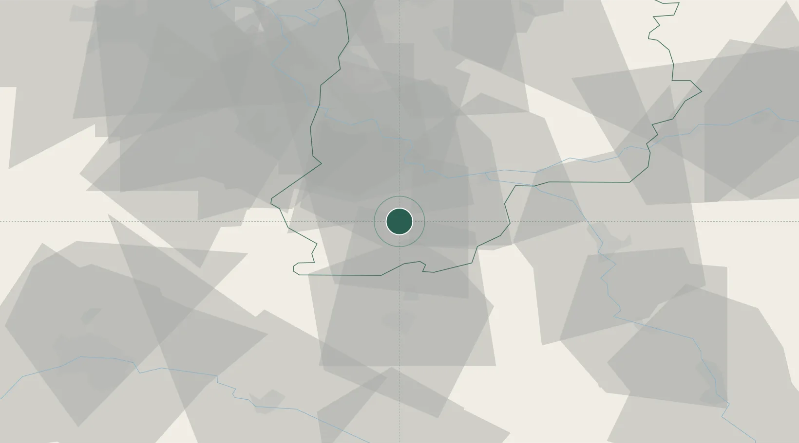
Place type
Populated place
Region
Île-de-France
Population
862
Time zone
Europe/Paris
Elevation
87 m
Location
Nearby Logistics Neighbours
Cities
- 1Nemours3 km
- 2Montcourt-Fromonville5 km
- 3Bagneaux-sur-Loing5 km
- 4Nanteau-sur-Lunain6 km
- 5Grez-sur-Loing7 km
Ports
- 1Port Of Rouen179 km
- 2Dieppe221 km
- 3Le Treport223 km
- 4Honfleur224 km
- 5Saint-Valery-Sur-Somme228 km
Airports
- 1Melun-Villaroche Airfield38 km
- 2Paris-Orly Airport57 km
- 3Vélizy-Villacoublay Air Base69 km
- 4Toussus-le-Noble Airport71 km
- 5Auxerre Branches airport73 km
Trade Zones
- 1ZFU Montereau-Fault-Yonne21 km
- 2ZFU Melun31 km
- 3ZFU Sens41 km
- 4ZFU Corbeil-Evry43 km
- 5ZFU Epinay-sous-Sénart50 km
DatabookThe Record of Consolidated Knowledge
France beyond logistics?