Transport Functions
Multimodal
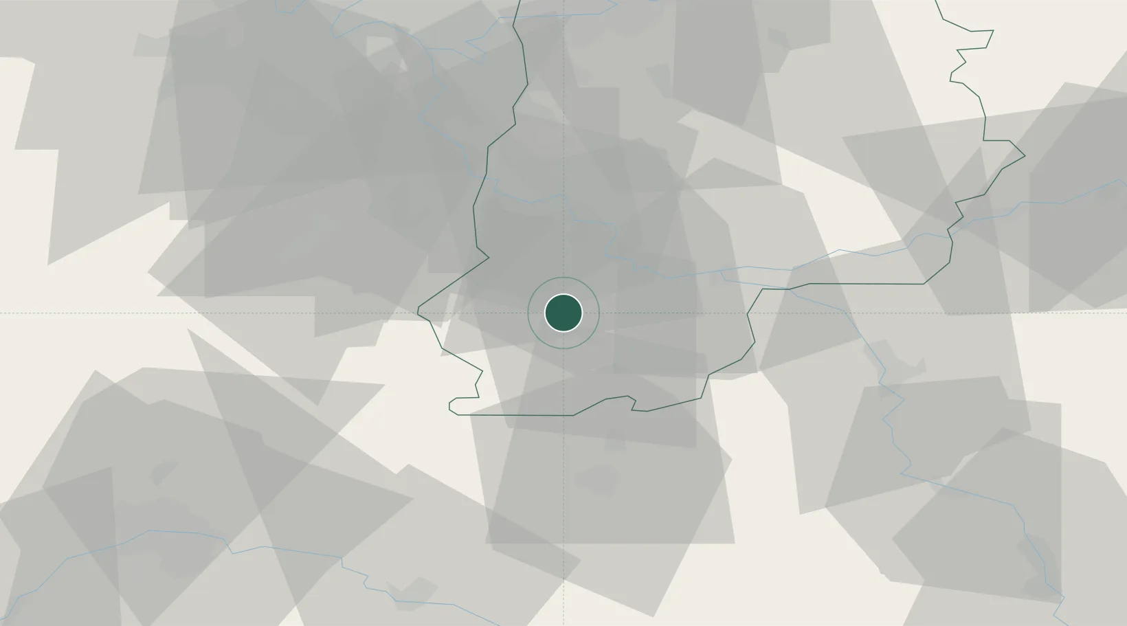
Hub Profile
Place type
Populated place
Region
Île-de-France
Population
1,347
Time zone
Europe/Paris
Elevation
71 m
Location
Nearby Logistics Neighbours
Cities
- 1Montcourt-Fromonville3 km
- 2Nemours6 km
- 3Darvault7 km
- 4Bagneaux-sur-Loing9 km
- 5Écuelles12 km
Ports
- 1Port Of Rouen172 km
- 2Dieppe214 km
- 3Le Treport216 km
- 4Honfleur217 km
- 5Saint-Valery-Sur-Somme221 km
Airports
Trade Zones
- 1ZFU Montereau-Fault-Yonne22 km
- 2ZFU Melun25 km
- 3ZFU Corbeil-Evry36 km
- 4ZFU Epinay-sous-Sénart43 km
- 5ZFU Grigny Viry-Châtillon45 km
DatabookThe Record of Consolidated Knowledge
France beyond logistics?