UN/LOCODE hub · France
FRELM
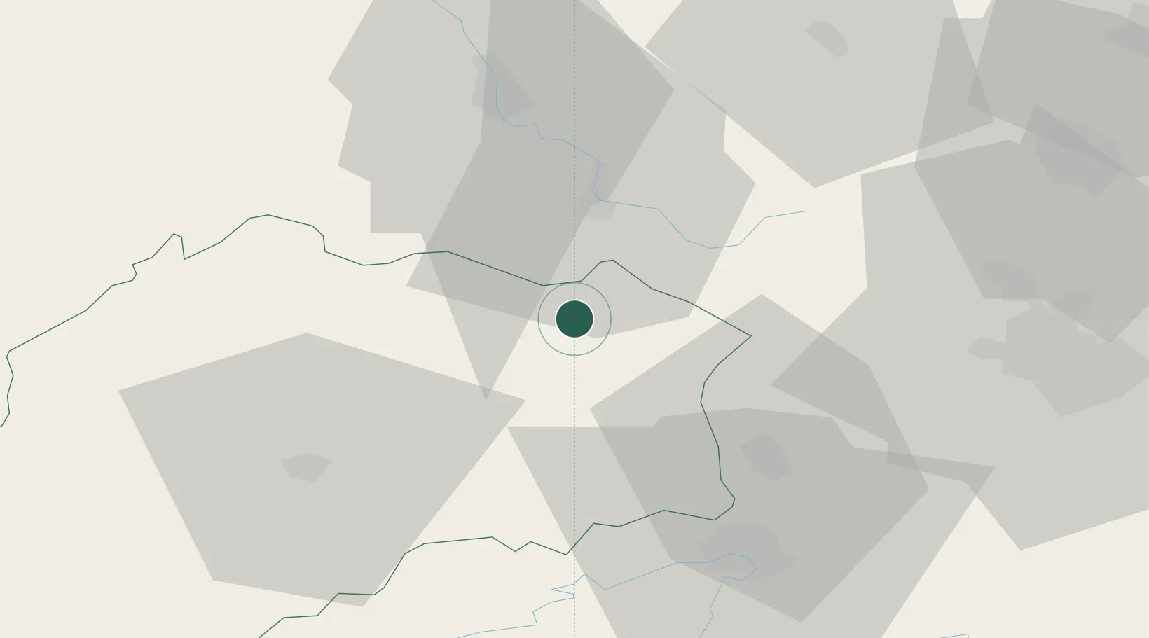
Faucogney-et-la-Mer
47.8500°, 6.5667°
605
Population
1
Transport functions
Transport Functions
Multimodal
Hub Profile
Place type
Populated place
Region
Bourgogne
Population
605
Time zone
Europe/Paris
Elevation
361 m
Location
Nearby Logistics Neighbours
Cities
- 1Le Val-d'Ajol10 km
- 2Fougerolles13 km
- 3Luxeuil-les-Bains15 km
- 4Dommartin-lès-Remiremont18 km
- 5Saint-Nabord20 km
Ports
- 1Bruxelles372 km
- 2Antwerpen406 km
- 3Ghent412 km
- 4Savona420 km
- 5Rada Di Vado424 km
Airports
Trade Zones
- 1ZFU Belfort29 km
- 2ZFU Montbéliard42 km
- 3ZFU Mulhouse59 km
- 4ZFU Besancon80 km
- 5ZFU Maxéville, Laxou, et de Nancy100 km
DatabookThe Record of Consolidated Knowledge
France beyond logistics?