Transport Functions
Multimodal
Hub Profile
Place type
Populated place
Region
Nouvelle-Aquitaine
Population
1,294
Time zone
Europe/Paris
Elevation
161 m
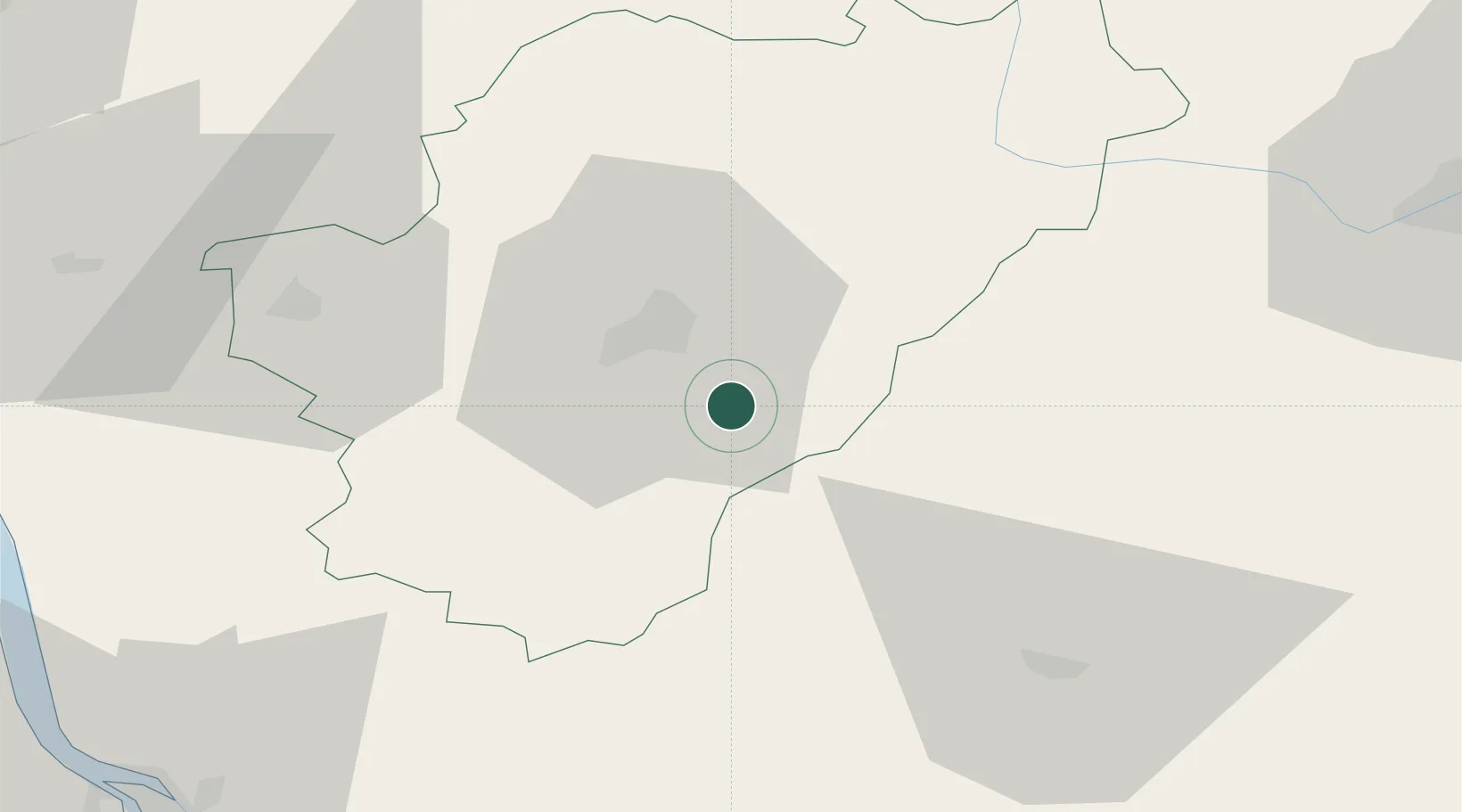
Location
Nearby Logistics Neighbours
Cities
- 1Édon9 km
- 2Vuil-et-Giget11 km
- 3Magnac-sur-Touvre12 km
- 4Mouthiers-sur-Boëme13 km
- 5Pranzac14 km
Ports
- 1Ambes87 km
- 2Blaye88 km
- 3Pauillac90 km
- 4Bordeaux101 km
- 5Tonnay Charente101 km
Airports
Trade Zones
- 1Port de Bordeaux96 km
- 2ZFU Hauts de Garonne105 km
- 3ZFU La Rochelle134 km
- 4ZFU Clermont-Ferrand219 km
- 5ZFU Angers225 km
DatabookThe Record of Consolidated Knowledge
France beyond logistics?