Transport Functions
Multimodal
Hub Profile
Region
16
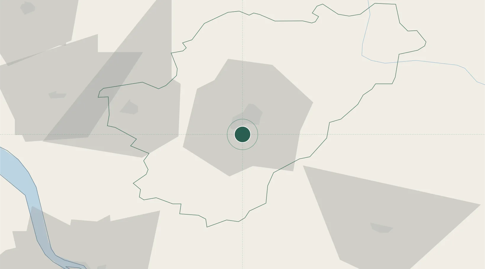
Location
Nearby Logistics Neighbours
Cities
- 1Mouthiers-sur-Boëme5 km
- 2Angoulême8 km
- 3Linars10 km
- 4Magnac-sur-Touvre10 km
- 5Dignac11 km
Ports
- 1Blaye81 km
- 2Pauillac82 km
- 3Ambes83 km
- 4Tonnay Charente90 km
- 5Le Verdon94 km
Airports
Trade Zones
- 1Port de Bordeaux92 km
- 2ZFU Hauts de Garonne101 km
- 3ZFU La Rochelle124 km
- 4ZFU Angers219 km
- 5ZFU Clermont-Ferrand229 km
DatabookThe Record of Consolidated Knowledge
France beyond logistics?