UN/LOCODE hub · France
FRMOH
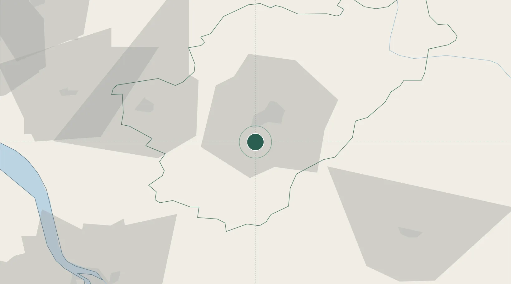
Mouthiers-sur-Boëme
45.5500°, 0.1167°
2,347
Population
2
Transport functions
Transport Functions
Rail
Road
Hub Profile
Place type
Populated place
Region
Nouvelle-Aquitaine
Population
2,347
Time zone
Europe/Paris
Elevation
101 m
Location
Nearby Logistics Neighbours
Cities
- 1Vuil-et-Giget5 km
- 2Mainfonds9 km
- 3Angoulême12 km
- 4Linars12 km
- 5Dignac13 km
Ports
- 1Blaye77 km
- 2Pauillac78 km
- 3Ambes78 km
- 4Tonnay Charente90 km
- 5Le Verdon91 km
Airports
Trade Zones
- 1Port de Bordeaux88 km
- 2ZFU Hauts de Garonne97 km
- 3ZFU La Rochelle123 km
- 4ZFU Angers222 km
- 5ZFU Clermont-Ferrand232 km
DatabookThe Record of Consolidated Knowledge
France beyond logistics?