Transport Functions
Road
Multimodal
Hub Profile
Place type
Populated place
Region
Nouvelle-Aquitaine
Population
822
Time zone
Europe/Paris
Elevation
103 m
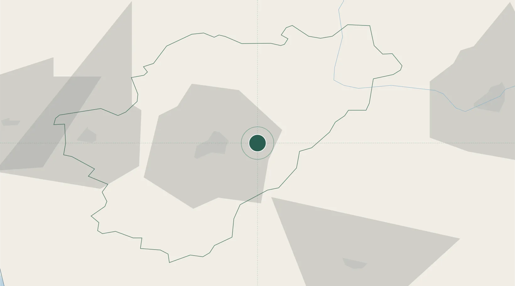
Location
Nearby Logistics Neighbours
Cities
- 1Magnac-sur-Touvre9 km
- 2Agris13 km
- 3Dignac14 km
- 4Angoulême14 km
- 5Jauldes15 km
Ports
- 1Blaye99 km
- 2Ambes100 km
- 3Pauillac100 km
- 4Tonnay Charente101 km
- 5Rochefort105 km
Airports
Trade Zones
- 1Port de Bordeaux109 km
- 2ZFU Hauts de Garonne118 km
- 3ZFU La Rochelle133 km
- 4ZFU Clermont-Ferrand212 km
- 5ZFU Angers215 km
DatabookThe Record of Consolidated Knowledge
France beyond logistics?