Transport Functions
Multimodal
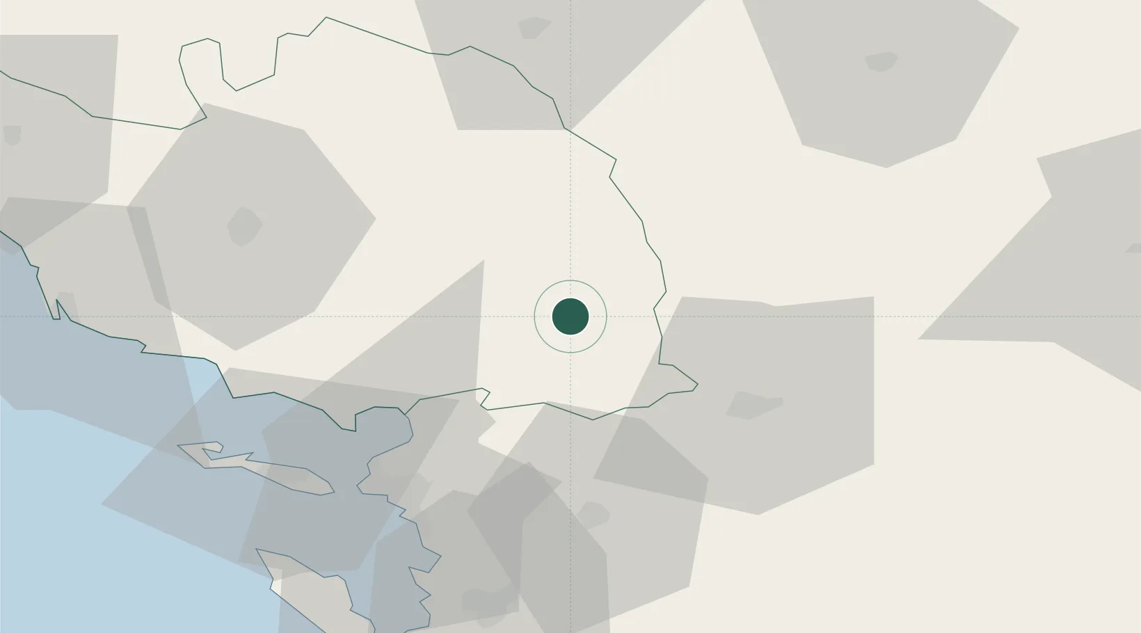
Hub Profile
Place type
Populated place
Region
Pays de la Loire
Population
1,202
Time zone
Europe/Paris
Elevation
69 m
Location
Nearby Logistics Neighbours
Cities
- 1Mouzeuil-Saint-Martin13 km
- 2Vernoux-en-Gâtine26 km
- 3Marans27 km
- 4Largeasse30 km
- 5Secondigny32 km
Ports
- 1La Rochelle47 km
- 2La Pallice49 km
- 3Tonnay Charente64 km
- 4Rochefort64 km
- 5Les Sables D' Olonne77 km
Airports
Trade Zones
- 1ZFU La Rochelle49 km
- 2ZFU Nantes et Saint-Herblain106 km
- 3ZFU Angers110 km
- 4ZFU Saint-Nazaire142 km
- 5Port de Bordeaux178 km
DatabookThe Record of Consolidated Knowledge
France beyond logistics?