UN/LOCODE hub · France
FRACR
Argenton-sur-Creuse
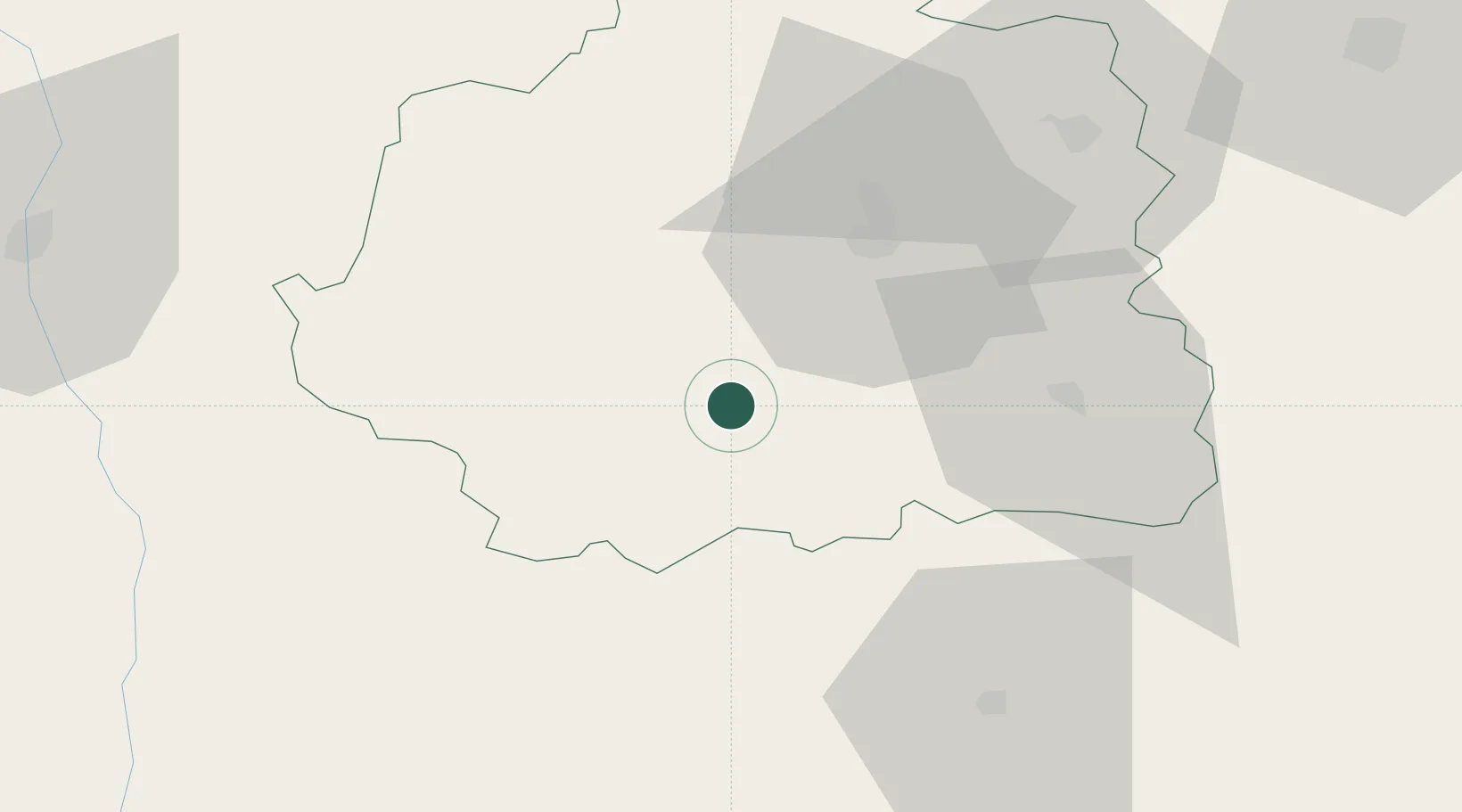
46.5833°, 1.5167°
5,335
Population
2
Transport functions
Transport Functions
Rail
Road
Hub Profile
Place type
Populated place
Region
Centre-Val de Loire
Population
5,335
Time zone
Europe/Paris
Elevation
112 m
Location
Nearby Logistics Neighbours
Cities
- 1Le Pont-Chrétien-Chabenet6 km
- 2Mouhers21 km
- 3La Cueille27 km
- 4Châteauroux29 km
- 5Dun-le-Palestel34 km
Ports
- 1Tonnay Charente199 km
- 2Rochefort203 km
- 3La Rochelle210 km
- 4La Pallice215 km
- 5Le Verdon229 km
Airports
- 1Châteauroux Déols airport35 km
- 2Montluçon-Guéret Airport76 km
- 3Bourges airport84 km
- 4Limoges Airport84 km
- 5Poitiers-Biard Airport93 km
Trade Zones
- 1ZFU Bourges83 km
- 2ZFU Blois113 km
- 3ZFU Orléans146 km
- 4ZFU Clermont-Ferrand149 km
- 5ZFU Le Mans188 km
DatabookThe Record of Consolidated Knowledge
France beyond logistics?