Transport Functions
Road
Multimodal
Hub Profile
Place type
Populated place
Region
Centre-Val de Loire
Time zone
Europe/Paris
Elevation
164 m
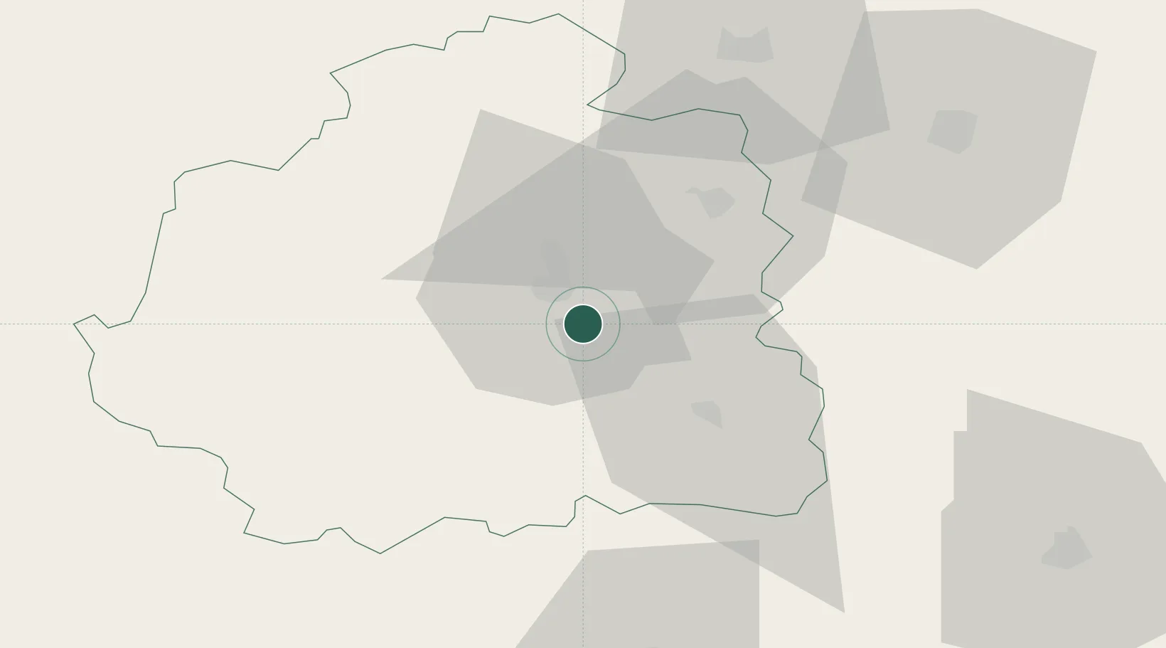
Location
Nearby Logistics Neighbours
Cities
- 1Châteauroux10 km
- 2Neuvy-Pailloux16 km
- 3Mouhers20 km
- 4Saint-Valentin24 km
- 5La Châtre24 km
Ports
- 1Tonnay Charente224 km
- 2Rochefort227 km
- 3La Rochelle233 km
- 4La Pallice238 km
- 5Le Verdon255 km
Airports
- 1Châteauroux Déols airport13 km
- 2Bourges airport57 km
- 3Avord (BA 702) Air Base74 km
- 4Montluçon-Guéret Airport74 km
- 5Nevers-Fourchambault Airport106 km
Trade Zones
- 1ZFU Bourges56 km
- 2ZFU Blois100 km
- 3ZFU Orléans125 km
- 4ZFU Clermont-Ferrand147 km
- 5ZFU Le Mans185 km
DatabookThe Record of Consolidated Knowledge
France beyond logistics?