Transport Functions
Road
Multimodal
Hub Profile
Place type
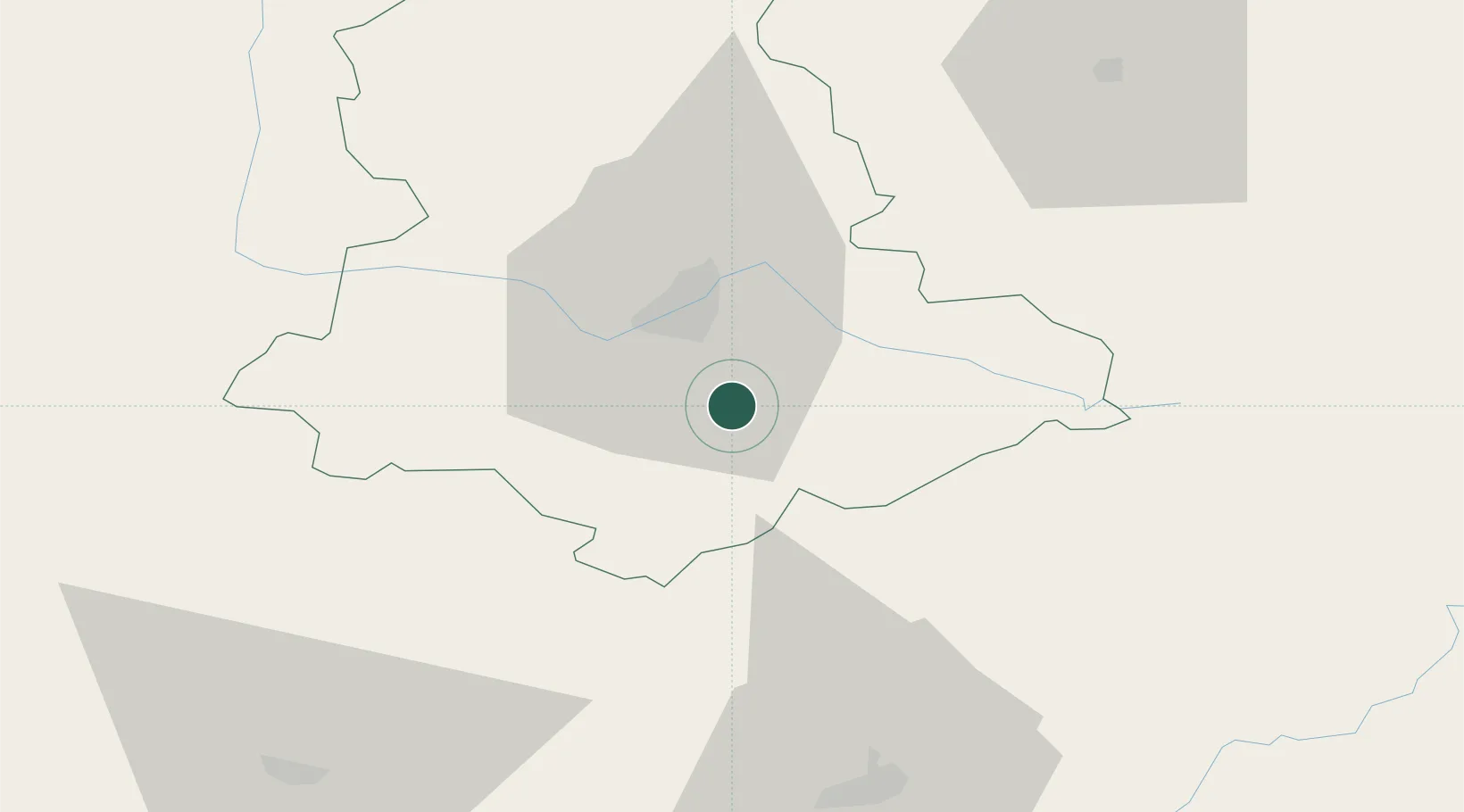
Populated place
Region
Nouvelle-Aquitaine
Population
1,130
Time zone
Europe/Paris
Elevation
305 m
Location
Nearby Logistics Neighbours
Cities
- 1Isle15 km
- 2Limoges16 km
- 3Saint-Hilaire-les-Places17 km
- 4Meuzac18 km
- 5Aixe-sur-Vienne20 km
Ports
- 1Ambes166 km
- 2Blaye170 km
- 3Pauillac173 km
- 4Bordeaux176 km
- 5Tonnay Charente176 km
Airports
Trade Zones
- 1ZFU Clermont-Ferrand134 km
- 2ZFU Bourges171 km
- 3Port de Bordeaux172 km
- 4ZFU Hauts de Garonne179 km
- 5ZFU La Rochelle205 km
DatabookThe Record of Consolidated Knowledge
France beyond logistics?