Transport Functions
Multimodal
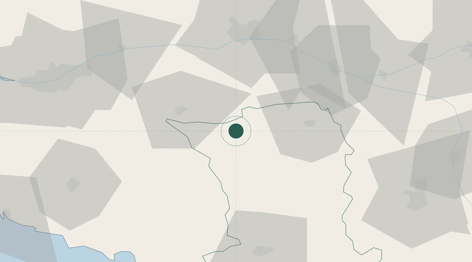
Hub Profile
Place type
Populated place
Region
Nouvelle-Aquitaine
Time zone
Europe/Paris
Elevation
152 m
Location
Nearby Logistics Neighbours
Cities
- 1Nueil-les-Aubiers4 km
- 2Maulévrier15 km
- 3Bressuire15 km
- 4Saint-Paul-du-Bois15 km
- 5Courlay19 km
Ports
- 1Nantes80 km
- 2La Rochelle99 km
- 3La Pallice100 km
- 4Les Sables D' Olonne105 km
- 5Tonnay Charente116 km
Airports
Trade Zones
- 1ZFU Angers59 km
- 2ZFU Nantes et Saint-Herblain90 km
- 3ZFU La Rochelle100 km
- 4ZFU Le Mans127 km
- 5ZFU Saint-Nazaire133 km
DatabookThe Record of Consolidated Knowledge
France beyond logistics?