UN/LOCODE hub · France
FRMOG
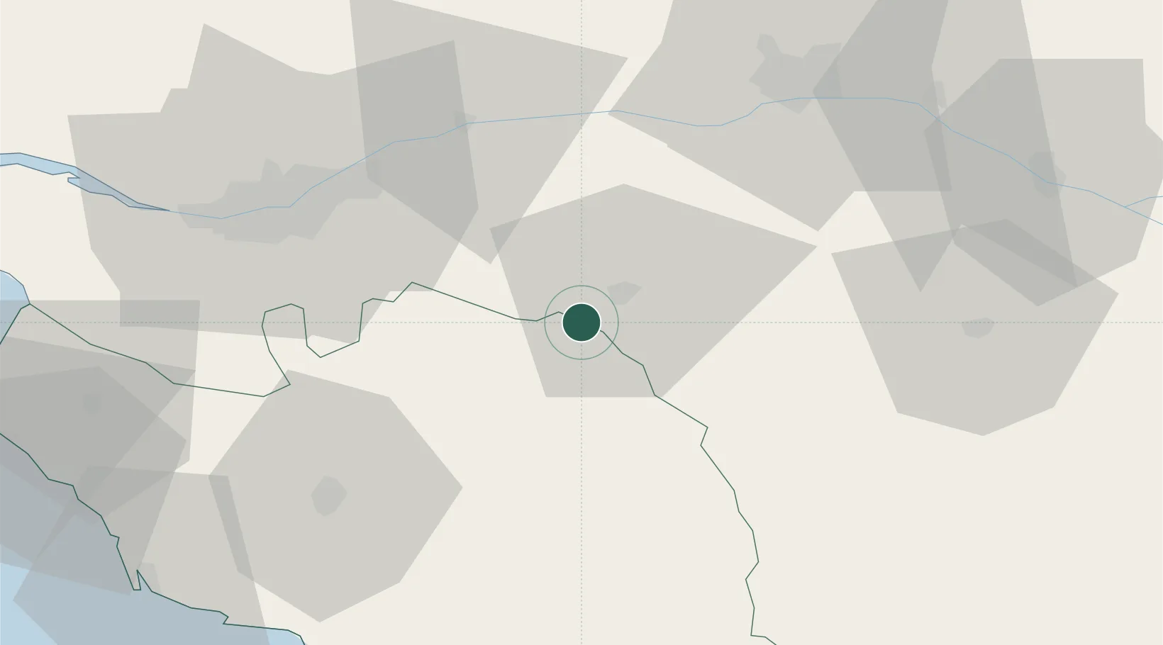
Mortagne-sur-Sèvre
47.0000°, -0.9500°
6,428
Population
2
Transport functions
Transport Functions
Rail
Road
Hub Profile
Place type
Populated place
Region
Pays de la Loire
Population
6,428
Time zone
Europe/Paris
Elevation
117 m
Location
Nearby Logistics Neighbours
Cities
- 1Cholet5 km
- 2La Romagne9 km
- 3Chambretaud9 km
- 4Mazières-en-Mauges12 km
- 5La Gaubretière12 km
Ports
- 1Nantes52 km
- 2Les Sables D' Olonne85 km
- 3Donges91 km
- 4La Pallice95 km
- 5Montoir96 km
Airports
Trade Zones
- 1ZFU Angers60 km
- 2ZFU Nantes et Saint-Herblain62 km
- 3ZFU La Rochelle95 km
- 4ZFU Saint-Nazaire105 km
- 5ZFU Le Mans136 km
DatabookThe Record of Consolidated Knowledge
France beyond logistics?