UN/LOCODE hub · France
FRZMG
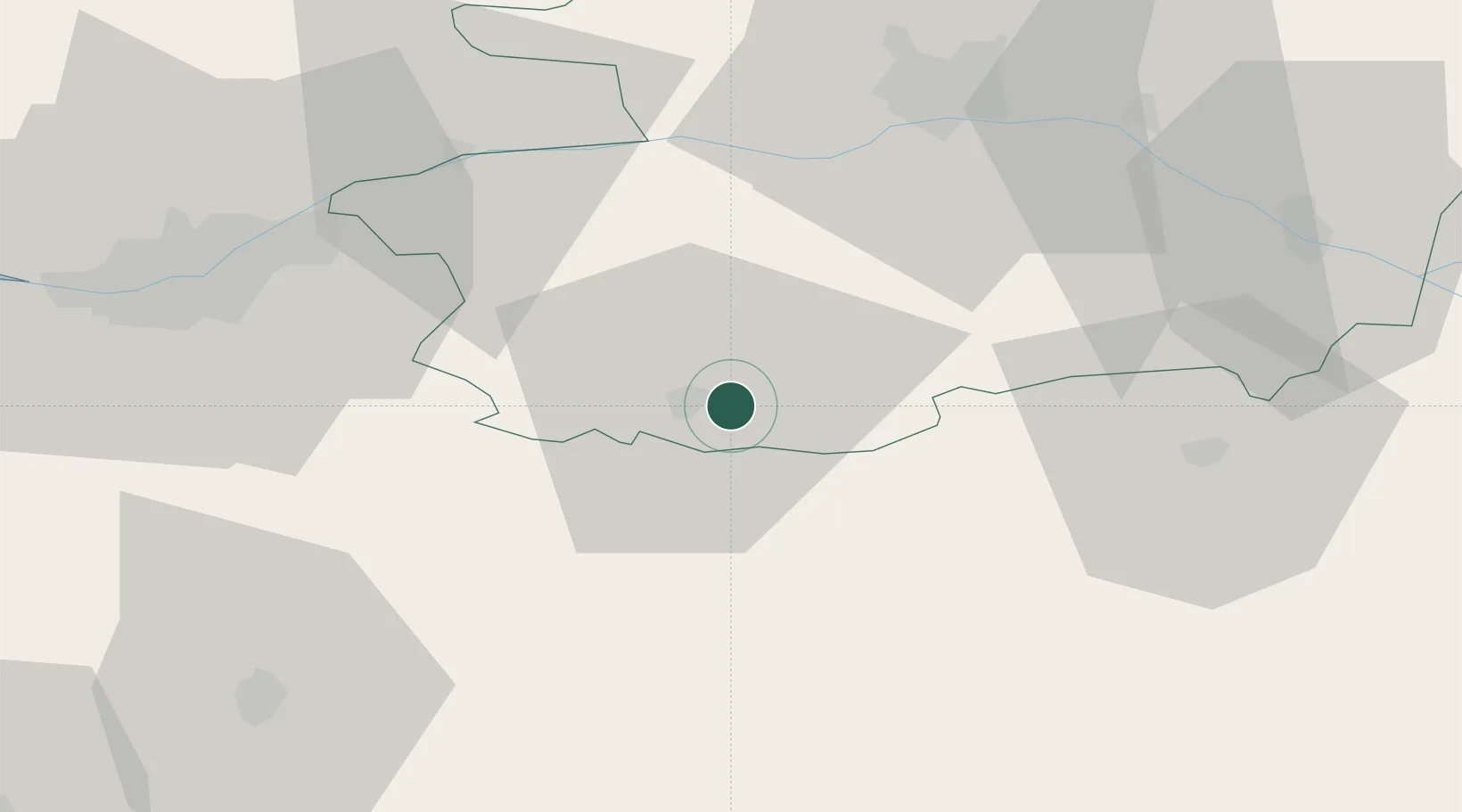
Mazières-en-Mauges
47.0500°, -0.8167°
1,023
Population
2
Transport functions
Transport Functions
Road
Multimodal
Hub Profile
Place type
Populated place
Region
Pays de la Loire
Population
1,023
Time zone
Europe/Paris
Elevation
123 m
Location
Nearby Logistics Neighbours
Cities
- 1Maulévrier6 km
- 2Cholet8 km
- 3Mortagne-sur-Sèvre12 km
- 4Bégrolles-en-Mauges14 km
- 5La Jubaudière14 km
Ports
- 1Nantes59 km
- 2Les Sables D' Olonne97 km
- 3Donges99 km
- 4La Pallice103 km
- 5La Rochelle103 km
Airports
Trade Zones
- 1ZFU Angers51 km
- 2ZFU Nantes et Saint-Herblain70 km
- 3ZFU La Rochelle103 km
- 4ZFU Saint-Nazaire113 km
- 5ZFU Le Mans126 km
DatabookThe Record of Consolidated Knowledge
France beyond logistics?