UN/LOCODE hub · France
FRS5P
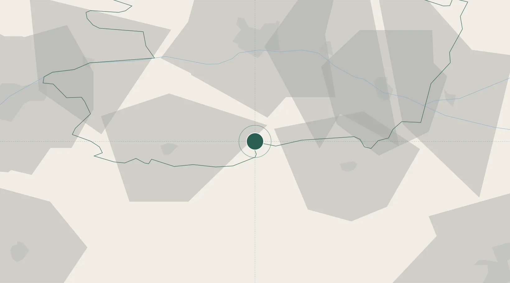
Saint-Paul-du-Bois
47.0833°, -0.5500°
600
Population
1
Transport functions
Transport Functions
Multimodal
Hub Profile
Place type
Populated place
Region
Pays de la Loire
Population
600
Time zone
Europe/Paris
Elevation
130 m
Location
Nearby Logistics Neighbours
Cities
- 1Montilliers12 km
- 2Passavant-sur-Layon13 km
- 3Melay15 km
- 4Valanjou15 km
- 5Les Aubiers15 km
Ports
- 1Nantes78 km
- 2La Rochelle113 km
- 3La Pallice114 km
- 4Les Sables D' Olonne115 km
- 5Donges117 km
Airports
Trade Zones
- 1ZFU Angers45 km
- 2ZFU Nantes et Saint-Herblain88 km
- 3ZFU Le Mans112 km
- 4ZFU La Rochelle114 km
- 5ZFU Saint-Nazaire132 km
DatabookThe Record of Consolidated Knowledge
France beyond logistics?