Transport Functions
Rail
Airport
Hub Profile
Place type
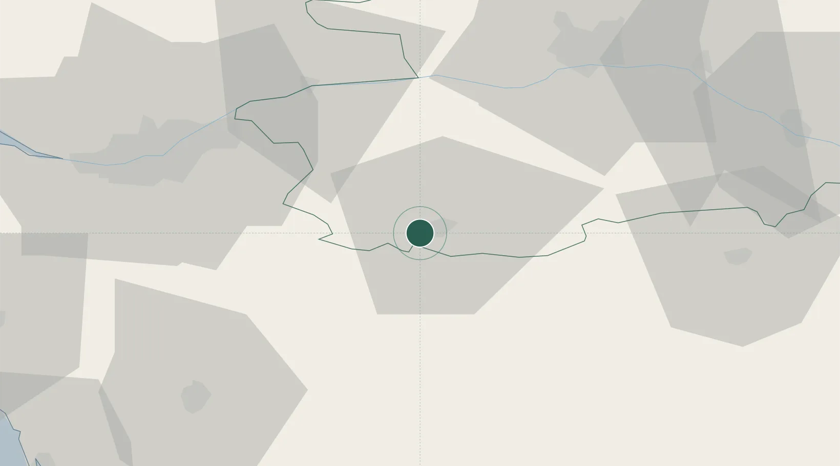
District seat
Region
Pays de la Loire
Population
53,160
Time zone
Europe/Paris
Elevation
84 m
Logistics facilities
2
Location
Nearby Logistics Neighbours
Cities
- 1Mortagne-sur-Sèvre5 km
- 2La Romagne8 km
- 3Mazières-en-Mauges8 km
- 4Bégrolles-en-Mauges12 km
- 5Maulévrier13 km
Ports
- 1Nantes52 km
- 2Les Sables D' Olonne90 km
- 3Donges91 km
- 4Montoir96 km
- 5La Pallice100 km
Airports
Trade Zones
- 1ZFU Angers55 km
- 2ZFU Nantes et Saint-Herblain62 km
- 3ZFU La Rochelle100 km
- 4ZFU Saint-Nazaire106 km
- 5ZFU Le Mans131 km
DatabookThe Record of Consolidated Knowledge
France beyond logistics?