UN/LOCODE hub · France
FRMS9

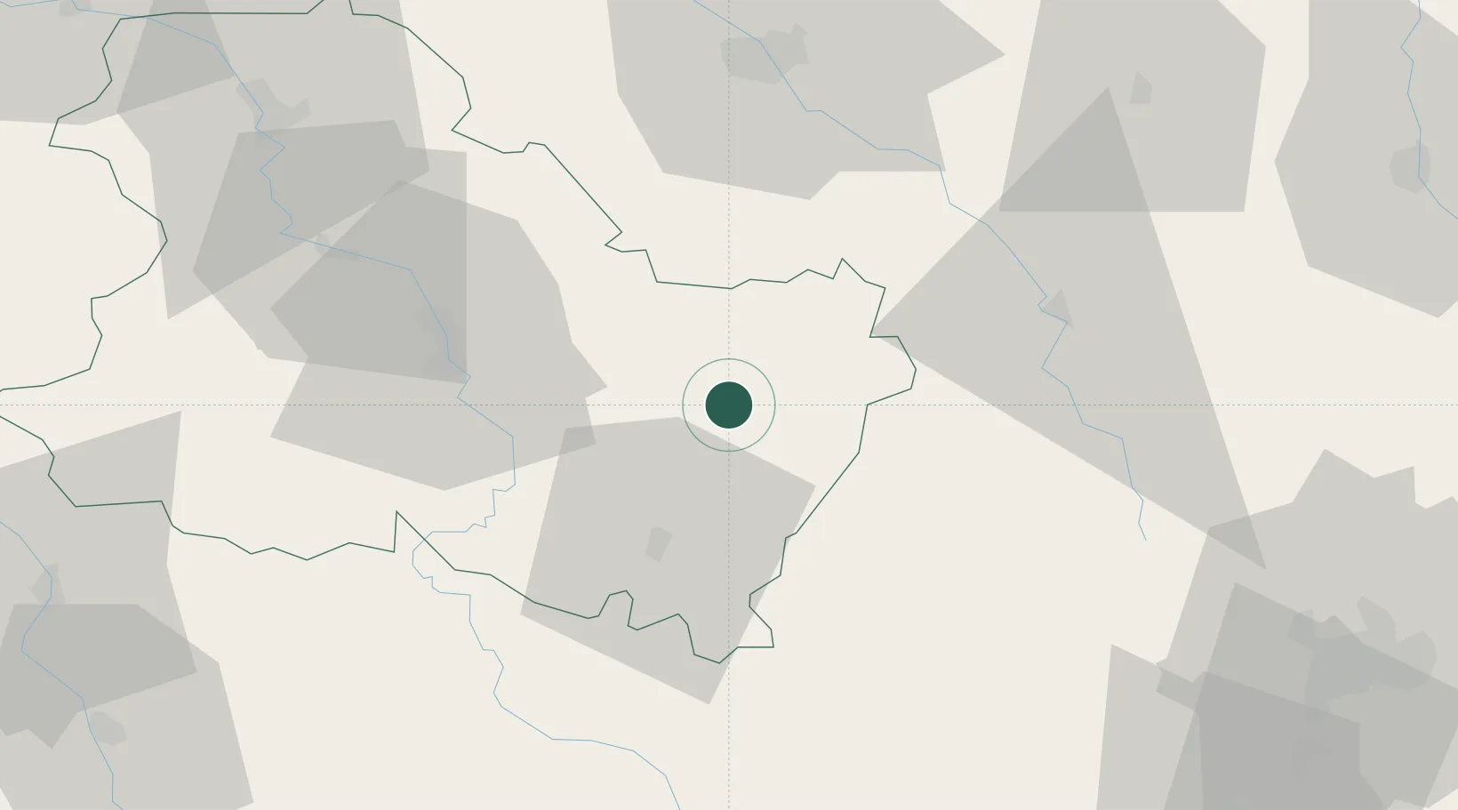
Moulins-en-Tonnerrois

47.7333°, 4.0333°
129
Population
1
Transport functions

Transport Functions

Multimodal
UN/LOCODE

Hub Profile

Place type
Populated place
GeoNames
Region
Bourgogne
GeoNames
Population
129
GeoNames
Time zone
Europe/Paris
GeoNames
Elevation
241 m
GeoNames

Location

Location of FRMS9
Natural Earth 10m (public domain) · Bourgogne · FRMS9 · 47.73, 4.03GoogleOSMYandex

Nearby Logistics Neighbours

Cities
  1. 1Ancy-le-Franc11 km
  2. 2Massangis14 km
  3. 3Serrigny14 km
  4. 4Épineuil15 km
  5. 5Chichée17 km
Nearest neighbours — logibook spatial index (haversine) over the source coordinates
Ports
  1. 1Port Of Rouen290 km
  2. 2Le Treport325 km
  3. 3Saint-Valery-Sur-Somme325 km
  4. 4Dieppe326 km
  5. 5Honfleur337 km
Nearest neighbours — logibook spatial index (haversine) over the source coordinates
Airports
  1. 1Auxerre Branches airport42 km
  2. 2Troyes-Barberey Airport66 km
  3. 3Dijon Longvic airport95 km
  4. 4Nevers-Fourchambault Airport107 km
  5. 5Chalons Vatry airport116 km
Nearest neighbours — logibook spatial index (haversine) over the source coordinates
Trade Zones
  1. 1ZFU La Chapelle Saint-Luc, Les Noës-près-Troyes, Troyes, Sainte-Savine63 km
  2. 2ZFU Sens77 km
  3. 3ZFU Chenôve87 km
  4. 4ZFU Montereau-Fault-Yonne109 km
  5. 5ZFU Saint-Dizier118 km
Nearest neighbours — logibook spatial index (haversine) over the source coordinates
DatabookThe Record of Consolidated Knowledge
France beyond logistics?
Browse databook

All Sources

LocationsUN/LOCODE
UN/LOCODE — free
LocationsGeoNames
CC BY 4.0
Portsthe NGA World Port Index
Public domain (US gov)
AirportsOurAirports
Public domain
Trade Zonesthe World Bank SEZ database
CC BY 4.0
Trade ZonesOpen Zone Map
CC BY
← France locations