Transport Functions
Port
Multimodal
Hub Profile
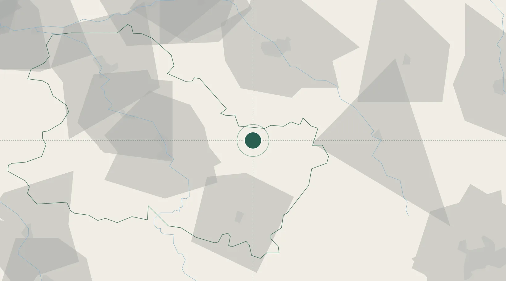
Place type
Populated place
Region
Bourgogne
Population
644
Time zone
Europe/Paris
Elevation
165 m
Location
Nearby Logistics Neighbours
Ports
- 1Port Of Rouen277 km
- 2Saint-Valery-Sur-Somme310 km
- 3Le Treport310 km
- 4Dieppe313 km
- 5Honfleur326 km
Airports
- 1Auxerre Branches airport36 km
- 2Troyes-Barberey Airport51 km
- 3Chalons Vatry airport102 km
- 4Dijon Longvic airport106 km
- 5Saint-Dizier – Robinson Air Base109 km
Trade Zones
DatabookThe Record of Consolidated Knowledge
France beyond logistics?