Transport Functions
Multimodal
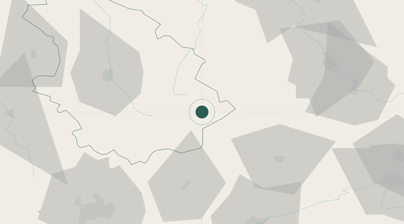
Hub Profile
Place type
Populated place
Region
Grand Est
Population
131
Time zone
Europe/Paris
Elevation
399 m
Location
Nearby Logistics Neighbours
Cities
- 1Bourbonne-les-Bains7 km
- 2Serqueux10 km
- 3Lavernoy10 km
- 4Merrey17 km
- 5Cendrecourt18 km
Ports
- 1Bruxelles344 km
- 2Ghent380 km
- 3Antwerpen381 km
- 4Port Of Rouen381 km
- 5Saint-Valery-Sur-Somme391 km
Airports
Trade Zones
- 1ZFU Besancon77 km
- 2ZFU Chenôve87 km
- 3ZFU Belfort87 km
- 4ZFU Montbéliard92 km
- 5ZFU Maxéville, Laxou, et de Nancy96 km
DatabookThe Record of Consolidated Knowledge
France beyond logistics?