UN/LOCODE hub · France
FRB52
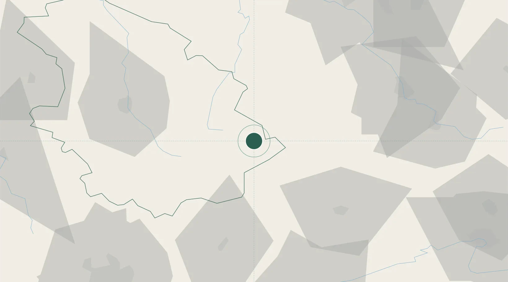
Bourbonne-les-Bains
47.9500°, 5.7500°
2,239
Population
1
Transport functions
Transport Functions
Multimodal
Hub Profile
Place type
Populated place
Region
Grand Est
Population
2,239
Time zone
Europe/Paris
Elevation
273 m
Location
Nearby Logistics Neighbours
Cities
- 1Serqueux4 km
- 2Coiffy-le-Haut7 km
- 3Lavernoy14 km
- 4Martinvelle15 km
- 5Merrey16 km
Ports
- 1Bruxelles340 km
- 2Ghent376 km
- 3Antwerpen376 km
- 4Port Of Rouen382 km
- 5Saint-Valery-Sur-Somme390 km
Airports
Trade Zones
- 1ZFU Besancon82 km
- 2ZFU Belfort86 km
- 3ZFU Maxéville, Laxou, et de Nancy90 km
- 4ZFU Montbéliard92 km
- 5ZFU Chenôve93 km
DatabookThe Record of Consolidated Knowledge
France beyond logistics?