Transport Functions
Multimodal
Hub Profile
Place type
Populated place
Region
Nouvelle-Aquitaine
Population
146
Time zone
Europe/Paris
Elevation
85 m
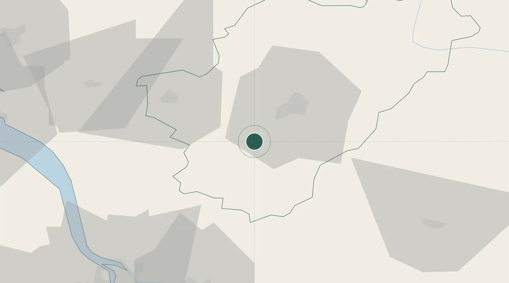
Location
Nearby Logistics Neighbours
Cities
- 1Mouthiers-sur-Boëme9 km
- 2Malaville9 km
- 3Vuil-et-Giget13 km
- 4Challignac14 km
- 5Angeac-Charente15 km
Ports
- 1Blaye68 km
- 2Pauillac70 km
- 3Ambes70 km
- 4Le Verdon83 km
- 5Tonnay Charente85 km
Airports
Trade Zones
- 1Port de Bordeaux80 km
- 2ZFU Hauts de Garonne90 km
- 3ZFU La Rochelle119 km
- 4ZFU Angers224 km
- 5ZFU Nantes et Saint-Herblain231 km
DatabookThe Record of Consolidated Knowledge
France beyond logistics?