Transport Functions
Multimodal
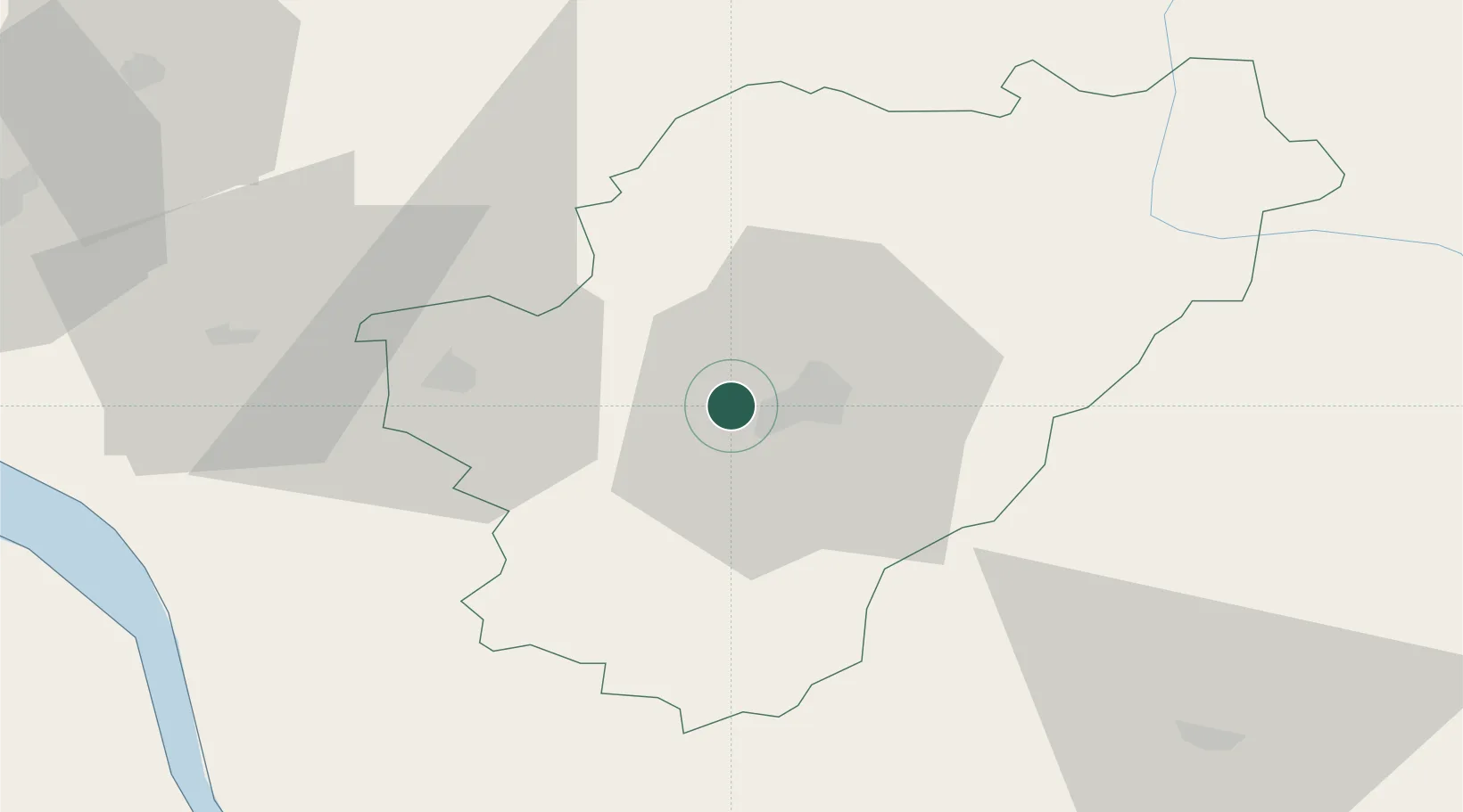
Hub Profile
Place type
Populated place
Region
Nouvelle-Aquitaine
Population
2,232
Time zone
Europe/Paris
Elevation
63 m
Location
Nearby Logistics Neighbours
Cities
- 1Angoulême8 km
- 2Vuil-et-Giget10 km
- 3Angeac-Charente11 km
- 4Mouthiers-sur-Boëme12 km
- 5Mérignac13 km
Ports
- 1Pauillac81 km
- 2Blaye81 km
- 3Tonnay Charente81 km
- 4Ambes85 km
- 5Rochefort85 km
Airports
Trade Zones
- 1Port de Bordeaux95 km
- 2ZFU Hauts de Garonne104 km
- 3ZFU La Rochelle114 km
- 4ZFU Angers210 km
- 5ZFU Nantes et Saint-Herblain221 km
DatabookThe Record of Consolidated Knowledge
France beyond logistics?