Transport Functions
Rail
Road
Airport
Hub Profile
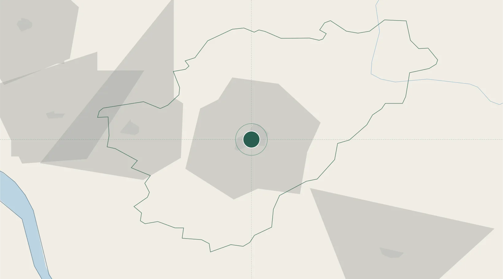
Place type
Provincial seat
Region
Nouvelle-Aquitaine
Population
49,468
Time zone
Europe/Paris
Elevation
105 m
Location
Nearby Logistics Neighbours
Cities
- 1Magnac-sur-Touvre5 km
- 2Vuil-et-Giget8 km
- 3Linars8 km
- 4Mouthiers-sur-Boëme12 km
- 5Vars14 km
Ports
- 1Blaye87 km
- 2Pauillac87 km
- 3Tonnay Charente89 km
- 4Ambes89 km
- 5Rochefort92 km
Airports
Trade Zones
- 1Port de Bordeaux99 km
- 2ZFU Hauts de Garonne108 km
- 3ZFU La Rochelle121 km
- 4ZFU Angers212 km
- 5ZFU Nantes et Saint-Herblain226 km
DatabookThe Record of Consolidated Knowledge
France beyond logistics?