UN/LOCODE hub · France
FREPR

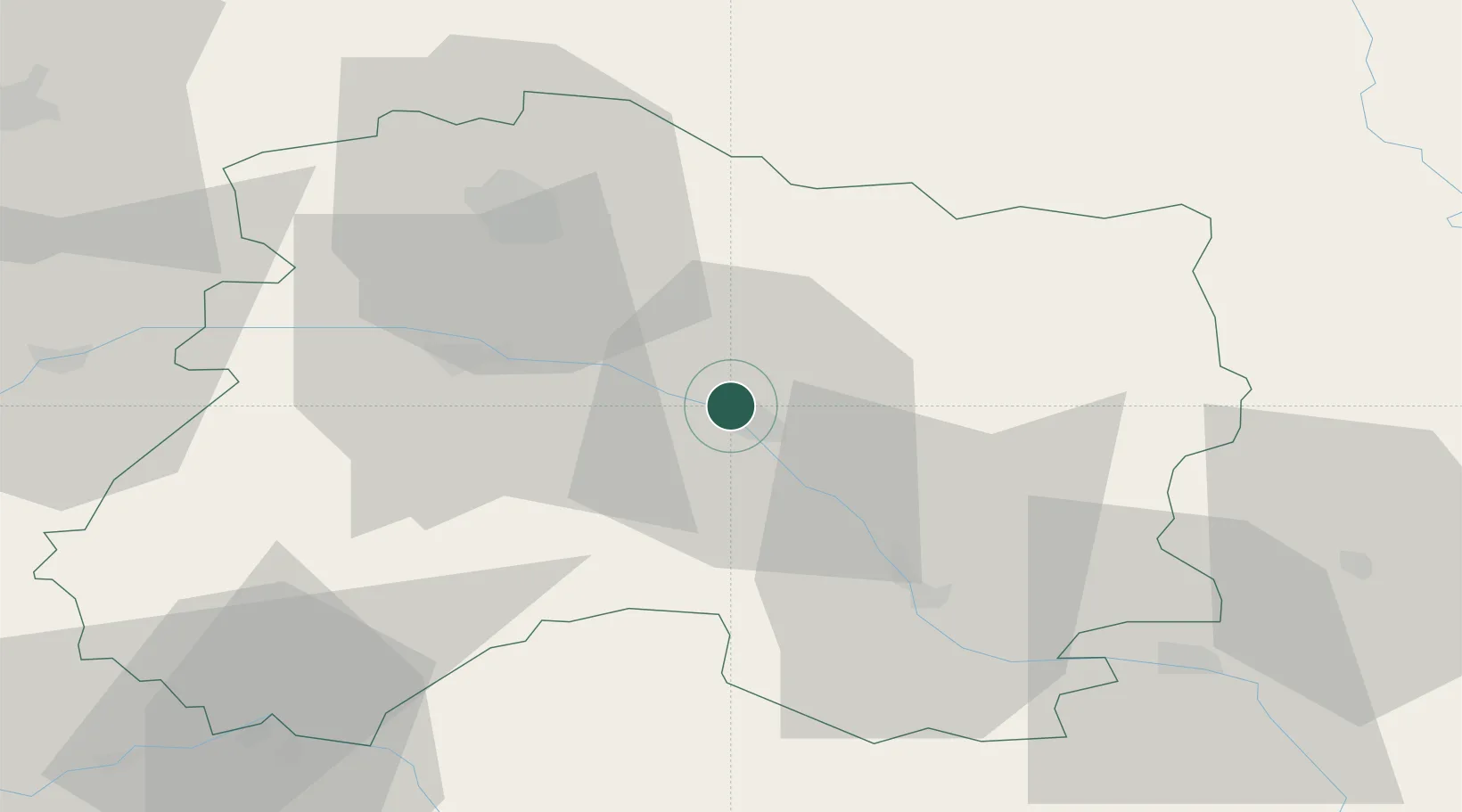
Saint-Martin-sur-le-Pré

48.9833°, 4.3333°
913
Population
2
Transport functions

Transport Functions

Rail
Road
UN/LOCODE

Hub Profile

Place type
Populated place
GeoNames
Region
Grand Est
GeoNames
Population
913
GeoNames
Time zone
Europe/Paris
GeoNames
Elevation
82 m
GeoNames

Location

Location of FREPR
Natural Earth 10m (public domain) · Grand Est · FREPR · 48.98, 4.33GoogleOSMYandex

Nearby Logistics Neighbours

Cities
  1. 1Recy1 km
  2. 2Fagnières4 km
  3. 3La Ferté-sous-Jouarre4 km
  4. 4Châlons-en-Champagne4 km
  5. 5Marson9 km
Nearest neighbours — logibook spatial index (haversine) over the source coordinates
Ports
  1. 1Bruxelles209 km
  2. 2Ghent236 km
  3. 3Antwerpen248 km
  4. 4Bruges263 km
  5. 5Nieuwpoort264 km
Nearest neighbours — logibook spatial index (haversine) over the source coordinates
Airports
  1. 1Chalons Vatry airport25 km
  2. 2Saint-Dizier – Robinson Air Base57 km
  3. 3Troyes-Barberey Airport77 km
  4. 4Verdun-Le Rozelier Airfield84 km
  5. 5Charleville-Mézières Ardennes-Etienne Riché Airfield92 km
Nearest neighbours — logibook spatial index (haversine) over the source coordinates
Trade Zones
  1. 1ZFU Reims39 km
  2. 2ZFU Saint-Dizier55 km
  3. 3ZFU La Chapelle Saint-Luc, Les Noës-près-Troyes, Troyes, Sainte-Savine79 km
  4. 4ZFU Presles, Chevreux87 km
  5. 5ZFU Ronde Couture89 km
Nearest neighbours — logibook spatial index (haversine) over the source coordinates
DatabookThe Record of Consolidated Knowledge
France beyond logistics?
Browse databook

All Sources

LocationsUN/LOCODE
UN/LOCODE — free
LocationsGeoNames
CC BY 4.0
Portsthe NGA World Port Index
Public domain (US gov)
AirportsOurAirports
Public domain
Trade Zonesthe World Bank SEZ database
CC BY 4.0
Trade ZonesOpen Zone Map
CC BY
← France locations