UN/LOCODE hub · France
FRML2
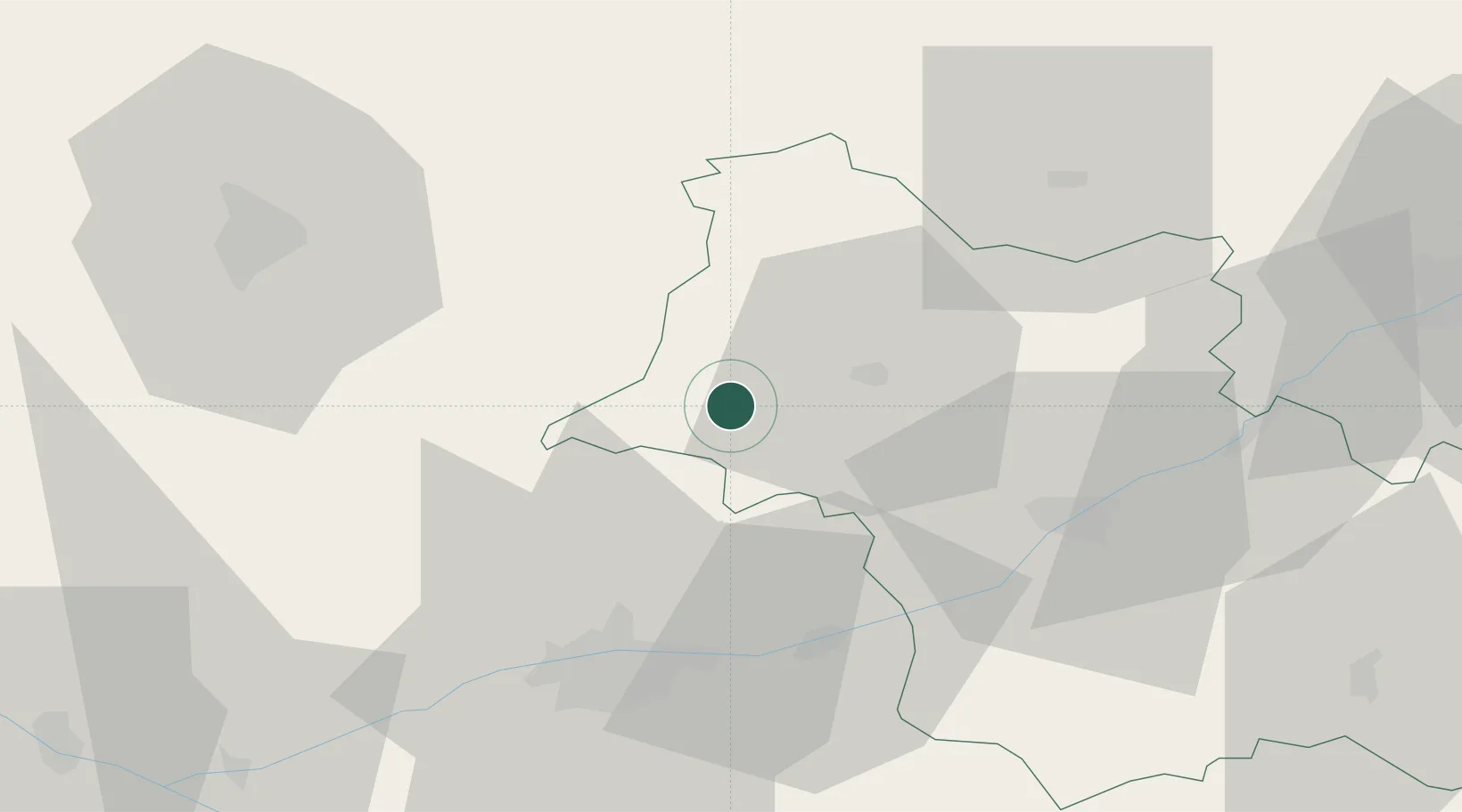
Montoire-sur-le-Loir
47.7500°, 0.8667°
4,177
Population
1
Transport functions
Transport Functions
Multimodal
Hub Profile
Place type
Populated place
Region
Centre-Val de Loire
Population
4,177
Time zone
Europe/Paris
Elevation
68 m
Location
Nearby Logistics Neighbours
Cities
- 1Prunay-Cassereau7 km
- 2Villiers-sur-Loir11 km
- 3Montrouveau13 km
- 4Sainte-Anne16 km
- 5Ruillé-sur-Loir19 km
Ports
- 1Port De Caen183 km
- 2Deauville189 km
- 3Ouistreham189 km
- 4Port Of Rouen190 km
- 5Honfleur191 km
Airports
- 1Tours Val de Loire Airport37 km
- 2Châteaudun Airfield51 km
- 3Le Mans-Arnage Airport54 km
- 4Orléans-Bricy (BA 123) Air Base72 km
- 5Angers Marcé airport91 km
Trade Zones
- 1ZFU Blois36 km
- 2ZFU Le Mans61 km
- 3ZFU Orléans74 km
- 4ZFU Alençon96 km
- 5ZFU Angers114 km
DatabookThe Record of Consolidated Knowledge
France beyond logistics?