Transport Functions
Multimodal
Hub Profile
Place type
Populated place
Region
Centre-Val de Loire
Population
287
Time zone
Europe/Paris
Elevation
129 m
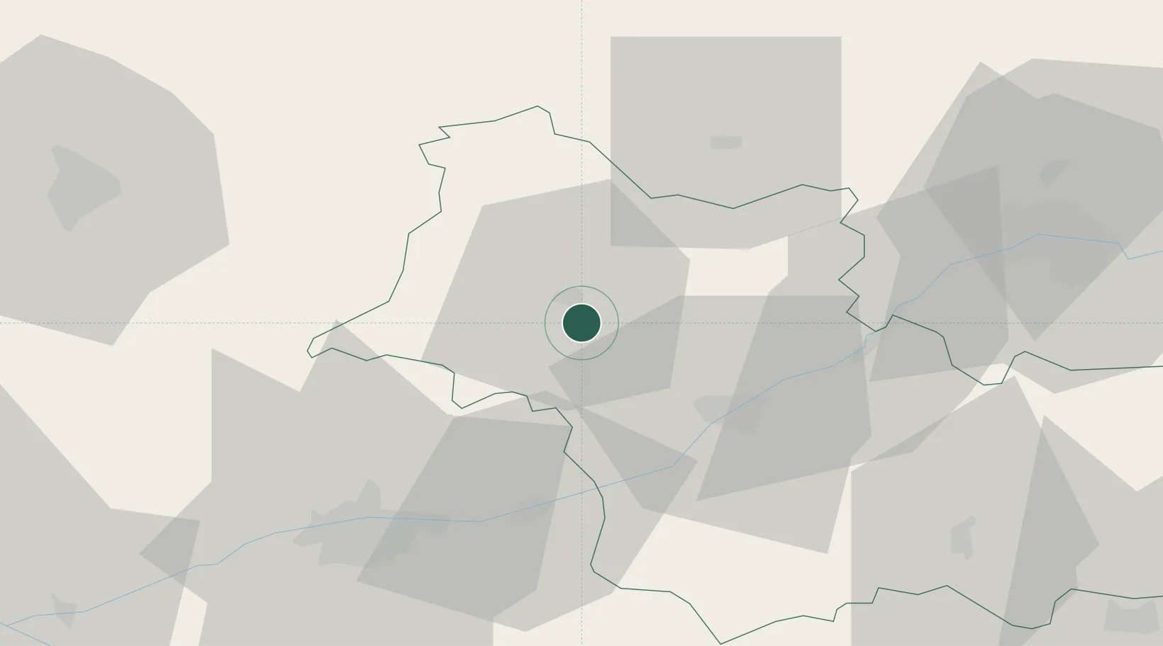
Location
Nearby Logistics Neighbours
Cities
- 1Coulommiers-la-Tour5 km
- 2Villiers-sur-Loir8 km
- 3Saint-Firmin-des-Prés10 km
- 4Prunay-Cassereau14 km
- 5Montoire-sur-le-Loir16 km
Ports
- 1Port Of Rouen189 km
- 2Port De Caen191 km
- 3Deauville194 km
- 4Honfleur196 km
- 5Ouistreham197 km
Airports
- 1Châteaudun Airfield41 km
- 2Tours Val de Loire Airport44 km
- 3Orléans-Bricy (BA 123) Air Base57 km
- 4Le Mans-Arnage Airport69 km
- 5Angers Marcé airport107 km
Trade Zones
- 1ZFU Blois23 km
- 2ZFU Orléans58 km
- 3ZFU Le Mans76 km
- 4ZFU Alençon106 km
- 5ZFU Dreux et Sainte-Gemme-Moronval113 km
DatabookThe Record of Consolidated Knowledge
France beyond logistics?