Transport Functions
Multimodal
Hub Profile
Place type
Populated place
Region
Centre-Val de Loire
Population
113
Time zone
Europe/Paris
Elevation
116 m
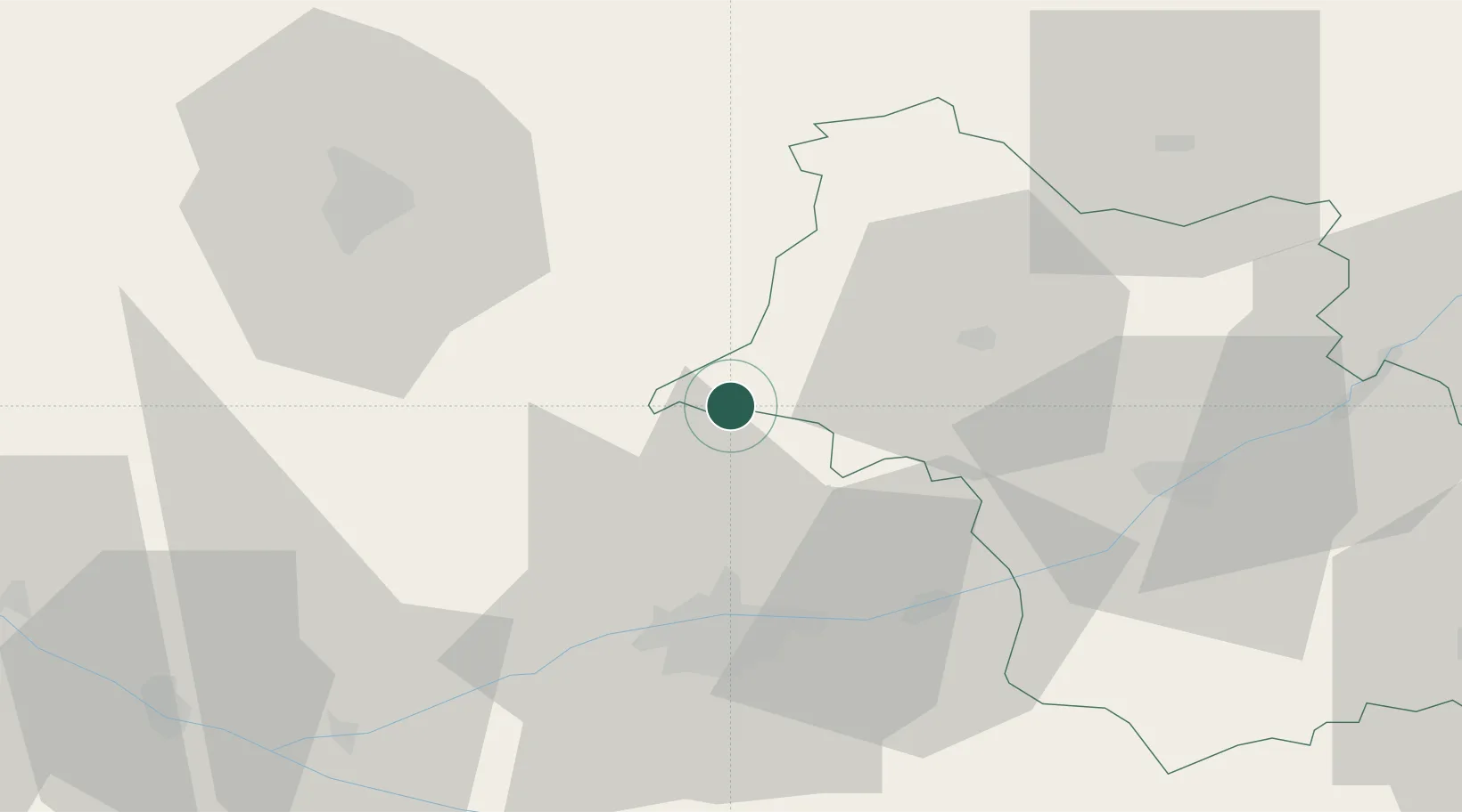
Location
Nearby Logistics Neighbours
Cities
- 1Ruillé-sur-Loir9 km
- 2La Chartre-sur-le-Loir11 km
- 3Montoire-sur-le-Loir13 km
- 4Lhomme14 km
- 5Bueil-en-Touraine14 km
Ports
- 1Nantes181 km
- 2Port De Caen183 km
- 3Ouistreham190 km
- 4Deauville191 km
- 5Honfleur194 km
Airports
- 1Tours Val de Loire Airport30 km
- 2Le Mans-Arnage Airport47 km
- 3Châteaudun Airfield64 km
- 4Angers Marcé airport79 km
- 5Orléans-Bricy (BA 123) Air Base84 km
Trade Zones
- 1ZFU Blois44 km
- 2ZFU Le Mans54 km
- 3ZFU Orléans86 km
- 4ZFU Alençon94 km
- 5ZFU Angers102 km
DatabookThe Record of Consolidated Knowledge
France beyond logistics?