UN/LOCODE hub · France
FRVL3
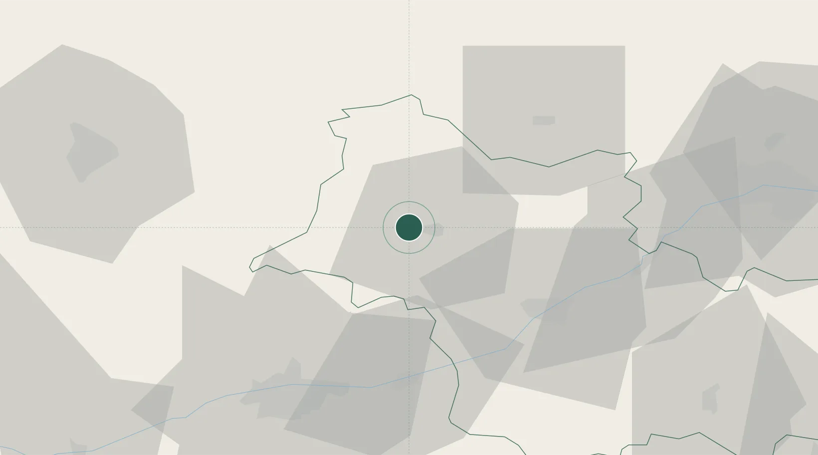
Villiers-sur-Loir
47.8000°, 1.0000°
1,215
Population
2
Transport functions
Transport Functions
Road
Multimodal
Hub Profile
Place type
Populated place
Region
Centre-Val de Loire
Population
1,215
Time zone
Europe/Paris
Elevation
91 m
Location
Nearby Logistics Neighbours
Cities
- 1Sainte-Anne8 km
- 2Saint-Firmin-des-Prés10 km
- 3Coulommiers-la-Tour10 km
- 4Montoire-sur-le-Loir11 km
- 5Prunay-Cassereau13 km
Ports
- 1Port De Caen183 km
- 2Port Of Rouen184 km
- 3Deauville187 km
- 4Honfleur189 km
- 5Ouistreham189 km
Airports
- 1Châteaudun Airfield40 km
- 2Tours Val de Loire Airport46 km
- 3Orléans-Bricy (BA 123) Air Base60 km
- 4Le Mans-Arnage Airport62 km
- 5Angers Marcé airport102 km
Trade Zones
- 1ZFU Blois32 km
- 2ZFU Orléans63 km
- 3ZFU Le Mans68 km
- 4ZFU Alençon98 km
- 5ZFU Dreux et Sainte-Gemme-Moronval109 km
DatabookThe Record of Consolidated Knowledge
France beyond logistics?