Transport Functions
Road
Multimodal
Hub Profile
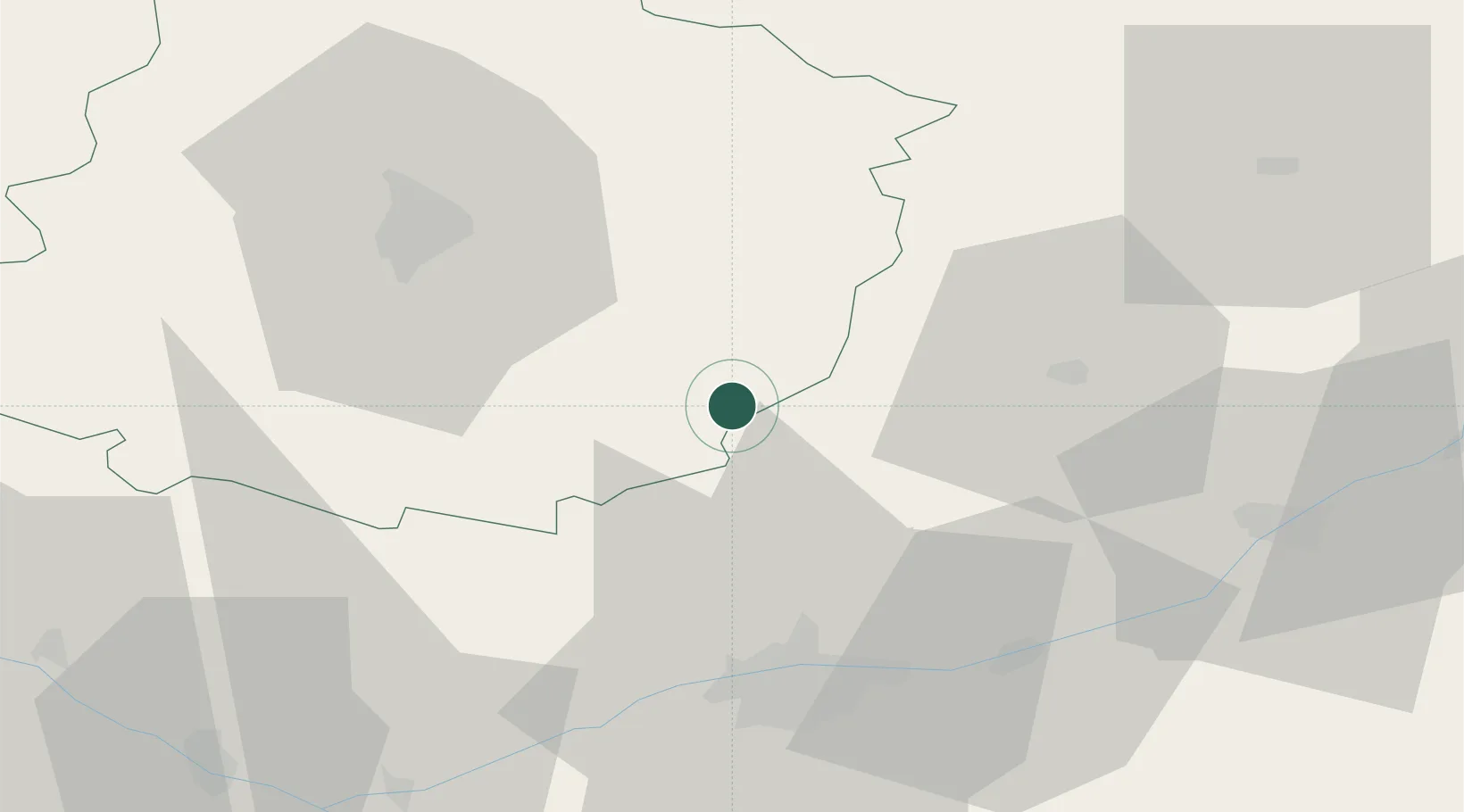
Place type
Populated place
Region
Pays de la Loire
Population
1,368
Time zone
Europe/Paris
Elevation
60 m
Location
Nearby Logistics Neighbours
Cities
- 1La Chartre-sur-le-Loir3 km
- 2Lhomme5 km
- 3Chahaignes8 km
- 4Marçon8 km
- 5Montrouveau9 km
Ports
- 1Port De Caen175 km
- 2Nantes175 km
- 3Ouistreham182 km
- 4Deauville184 km
- 5Honfleur188 km
Airports
- 1Tours Val de Loire Airport36 km
- 2Le Mans-Arnage Airport38 km
- 3Châteaudun Airfield66 km
- 4Angers Marcé airport73 km
- 5Orléans-Bricy (BA 123) Air Base89 km
Trade Zones
- 1ZFU Le Mans45 km
- 2ZFU Blois52 km
- 3ZFU Alençon86 km
- 4ZFU Orléans93 km
- 5ZFU Angers96 km
DatabookThe Record of Consolidated Knowledge
France beyond logistics?