Transport Functions
Multimodal
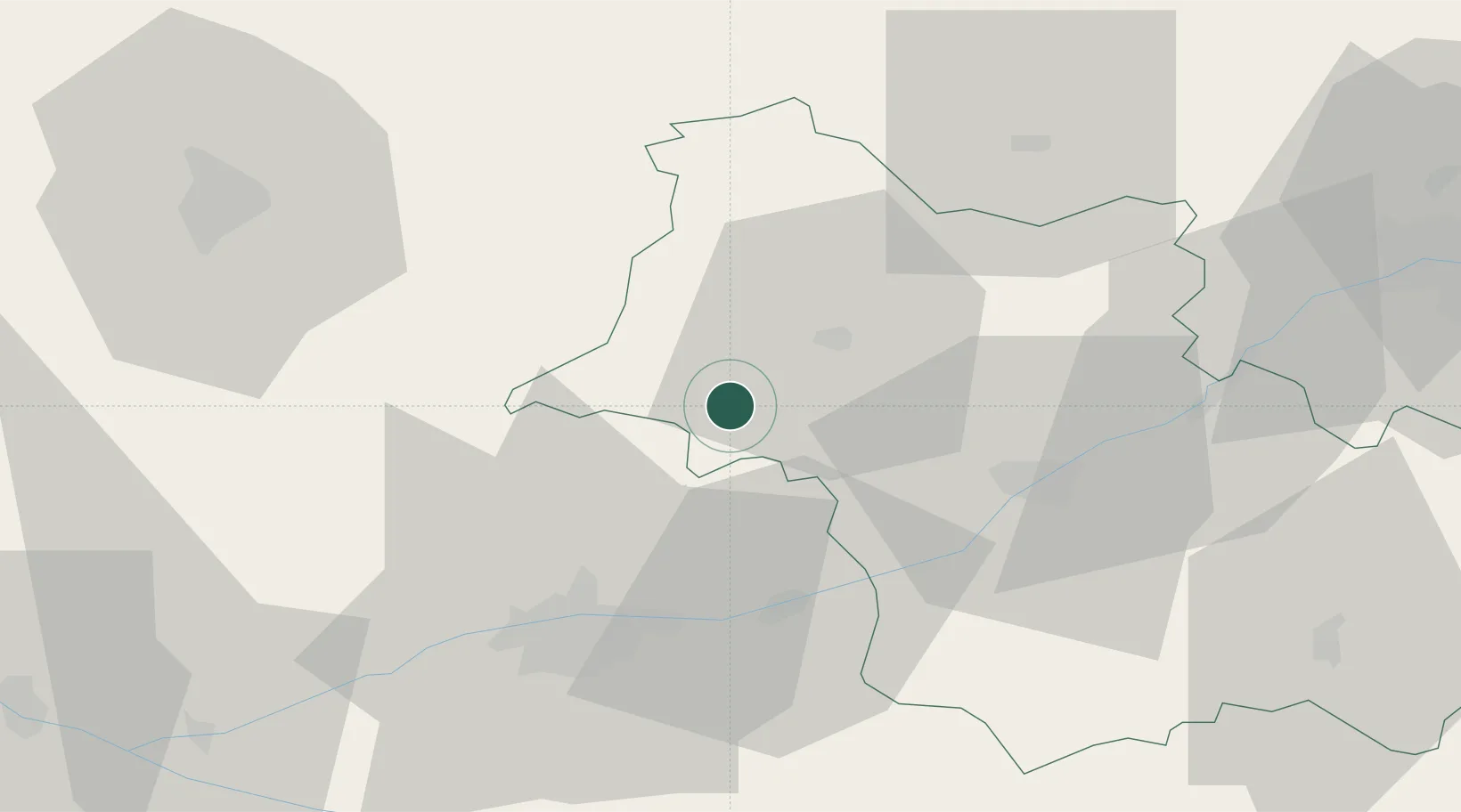
Hub Profile
Place type
Populated place
Region
Centre-Val de Loire
Population
628
Time zone
Europe/Paris
Elevation
130 m
Location
Nearby Logistics Neighbours
Cities
- 1Montoire-sur-le-Loir7 km
- 2Villiers-sur-Loir13 km
- 3Sainte-Anne14 km
- 4Montrouveau15 km
- 5Coulommiers-la-Tour19 km
Ports
- 1Port De Caen190 km
- 2Nantes195 km
- 3Port Of Rouen195 km
- 4Deauville195 km
- 5Ouistreham196 km
Airports
- 1Tours Val de Loire Airport33 km
- 2Châteaudun Airfield53 km
- 3Le Mans-Arnage Airport60 km
- 4Orléans-Bricy (BA 123) Air Base71 km
- 5Angers Marcé airport93 km
Trade Zones
- 1ZFU Blois30 km
- 2ZFU Le Mans67 km
- 3ZFU Orléans72 km
- 4ZFU Alençon102 km
- 5ZFU Angers116 km
DatabookThe Record of Consolidated Knowledge
France beyond logistics?