Transport Functions
Rail
Road
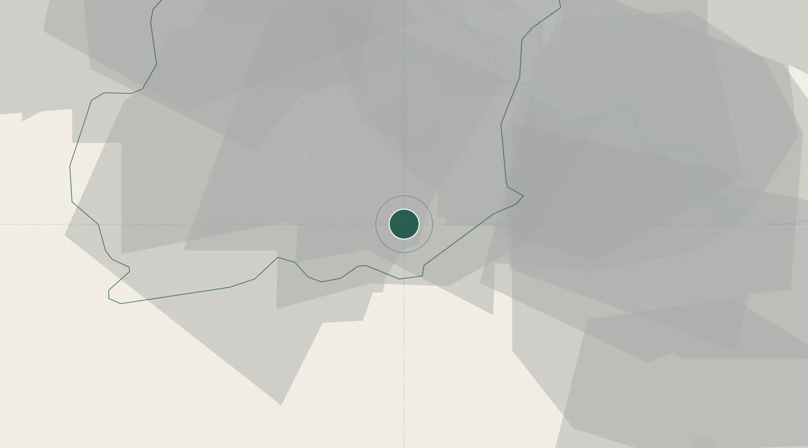
Hub Profile
Place type
Populated place
Region
Île-de-France
Population
2,776
Time zone
Europe/Paris
Elevation
65 m
Location
Nearby Logistics Neighbours
Cities
- 1Malesherbes10 km
- 2Cerny10 km
- 3Boissy-le-Cutté11 km
- 4Fleury-en-Bière15 km
- 5Lardy17 km
Ports
- 1Port Of Rouen152 km
- 2Honfleur195 km
- 3Dieppe196 km
- 4Deauville200 km
- 5Le Treport201 km
Airports
Trade Zones
- 1ZFU Corbeil-Evry24 km
- 2ZFU Melun27 km
- 3ZFU Grigny Viry-Châtillon32 km
- 4ZFU Epinay-sous-Sénart35 km
- 5ZFU Choisy-le-Roi et Orly42 km
DatabookThe Record of Consolidated Knowledge
France beyond logistics?