Transport Functions
Multimodal
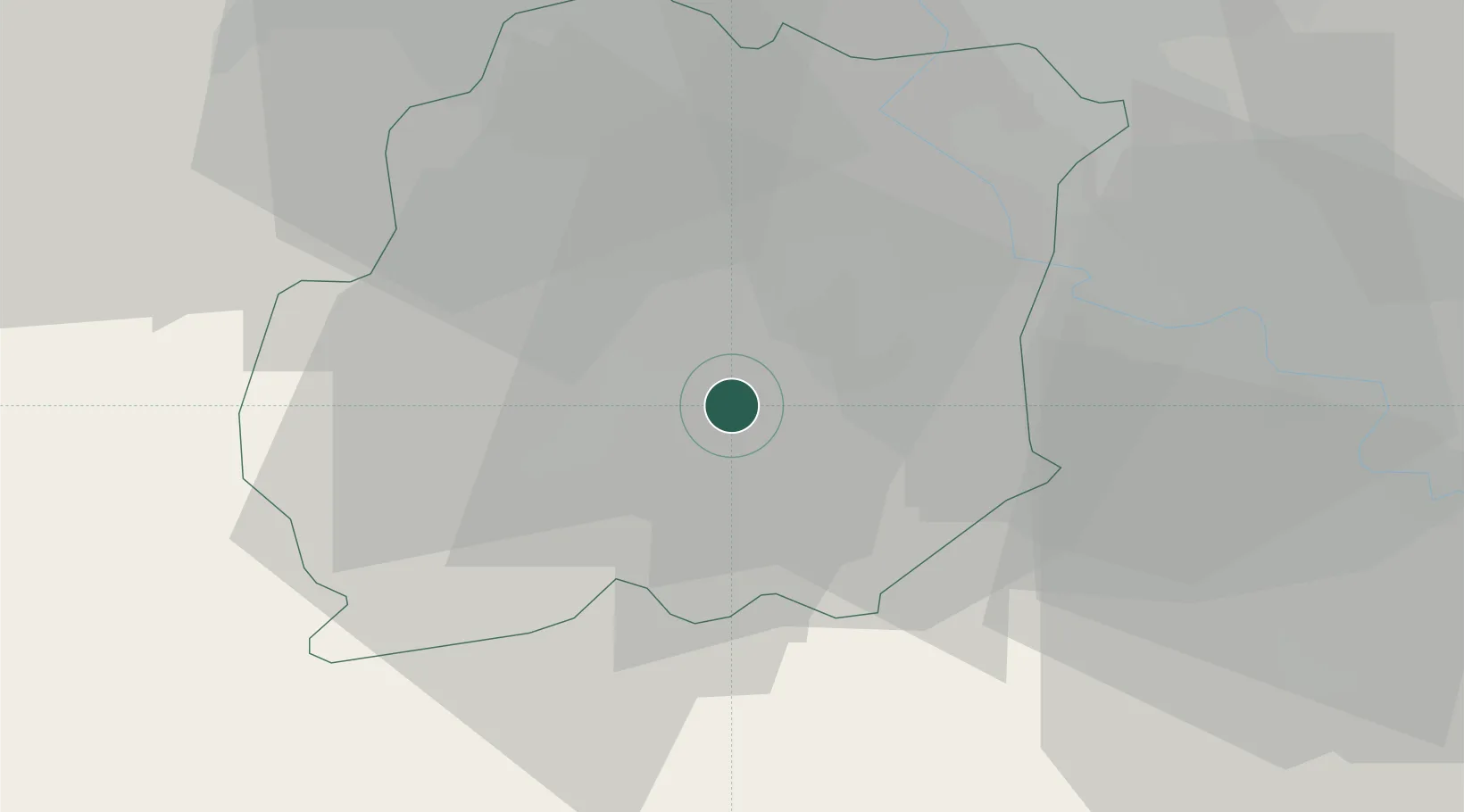
Hub Profile
Place type
Populated place
Region
Île-de-France
Population
1,258
Time zone
Europe/Paris
Elevation
76 m
Location
Nearby Logistics Neighbours
Ports
- 1Port Of Rouen141 km
- 2Honfleur184 km
- 3Dieppe185 km
- 4Deauville189 km
- 5Le Treport190 km
Airports
Trade Zones
- 1ZFU Corbeil-Evry18 km
- 2ZFU Grigny Viry-Châtillon24 km
- 3ZFU Melun27 km
- 4ZFU Epinay-sous-Sénart29 km
- 5ZFU Choisy-le-Roi et Orly34 km
DatabookThe Record of Consolidated Knowledge
France beyond logistics?