Transport Functions
Multimodal
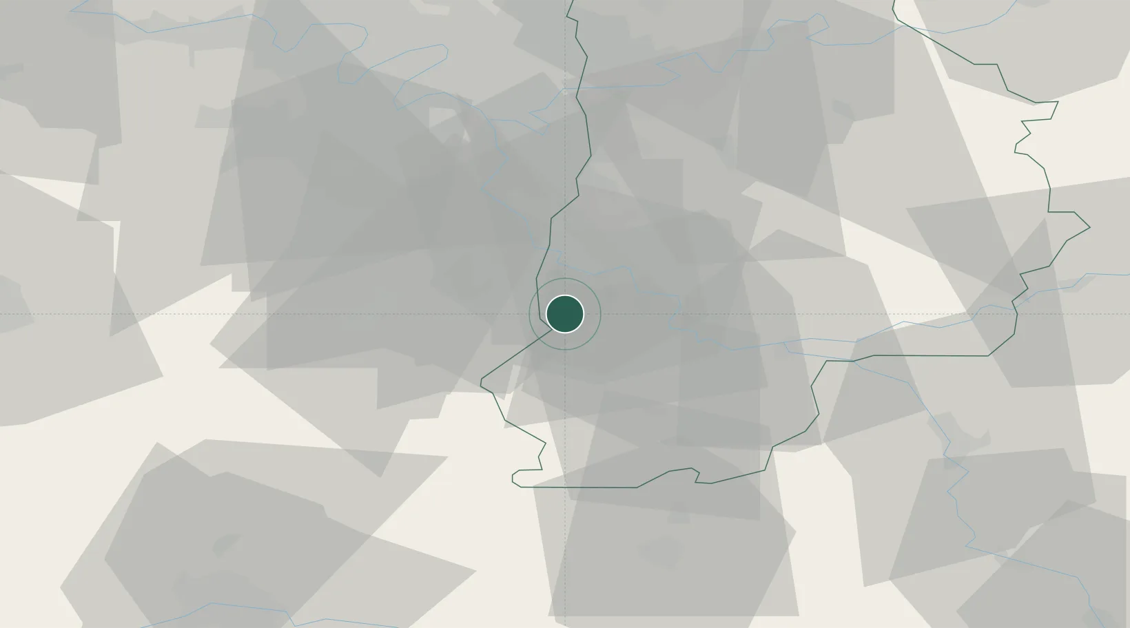
Hub Profile
Place type
Populated place
Region
Île-de-France
Population
620
Time zone
Europe/Paris
Elevation
77 m
Location
Nearby Logistics Neighbours
Cities
- 1Boissettes9 km
- 2Saint-Fargeau-Ponthierry9 km
- 3Dammarie-les-Lys11 km
- 4Seine-Port11 km
- 5Langey11 km
Ports
- 1Port Of Rouen155 km
- 2Dieppe196 km
- 3Le Treport199 km
- 4Honfleur202 km
- 5Saint-Valery-Sur-Somme204 km
Airports
Trade Zones
- 1ZFU Melun12 km
- 2ZFU Corbeil-Evry19 km
- 3ZFU Epinay-sous-Sénart27 km
- 4ZFU Grigny Viry-Châtillon28 km
- 5ZFU Montereau-Fault-Yonne30 km
DatabookThe Record of Consolidated Knowledge
France beyond logistics?