Economic Revitalization Project · France

ZFU Choisy-le-Roi et Orly Active
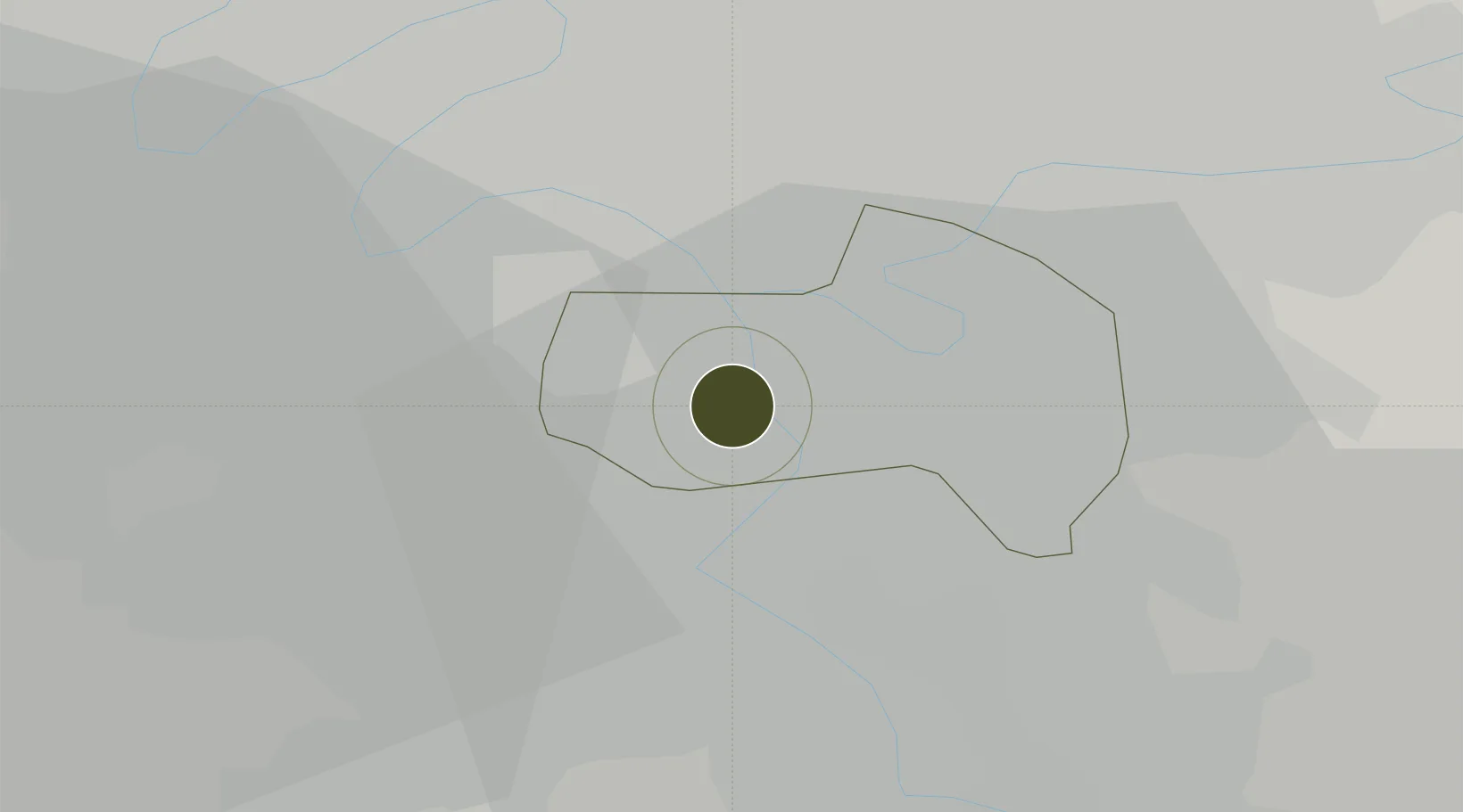
48.7624°, 2.4095°
105 ha
Zone area
124.1 km
Nearest port
4.9 km
Nearest airport

Gateway access

Nearest neighbours — logibook spatial index (haversine) over the source coordinates

Zone profile

Zone type
Economic Revitalization Project
Open Zone Map
Region
Val-de-Marne
Open Zone Map
Status
Active
Open Zone Map
Management
Public
Open Zone Map
Operator
Mairie de Choisy-le-Roi et Orly
Open Zone Map
Legal framework
Décret no 65-939 du 8 novembre 1965, Décret du 9 Octobre 2008
Open Zone Map

Location

Location of ozm-1948
Natural Earth 10m (public domain) · Val-de-Marne · ozm-1948 · 48.76, 2.41GoogleOSMYandex

Nearby Logistics Neighbours

Ports
  1. 1Port Of Rouen124 km
  2. 2Dieppe162 km
  3. 3Le Treport164 km
  4. 4Saint-Valery-Sur-Somme168 km
  5. 5Honfleur176 km
Nearest neighbours — logibook spatial index (haversine) over the source coordinates
Airports
  1. 1Paris-Orly Airport5 km
  2. 2Vélizy-Villacoublay Air Base15 km
  3. 3Toussus-le-Noble Airport22 km
  4. 4Paris-Le Bourget International Airport22 km
  5. 5Melun-Villaroche Airfield26 km
Nearest neighbours — logibook spatial index (haversine) over the source coordinates
Cities
  1. 1Orly2 km
  2. 2Villeneuve-Saint-Georges4 km
  3. 3Rungis5 km
  4. 4Valenton5 km
  5. 5Bonneuil-sur-Marne5 km
Nearest neighbours — logibook spatial index (haversine) over the source coordinates
Trade Zones
  1. 1ZFU Vitry-sur-Seine4 km
  2. 2ZFU Champigny-sur-Marne et Chennevières-sur-Marne10 km
  3. 3ZFU Grigny Viry-Châtillon10 km
  4. 4ZFU Epinay-sous-Sénart11 km
  5. 5ZFU Neuilly-sur-Marne14 km
Nearest neighbours — logibook spatial index (haversine) over the source coordinates
DatabookThe Record of Consolidated Knowledge
France beyond logistics?
Browse databook

All Sources

Trade ZonesOpen Zone Map
CC BY
Portsthe NGA World Port Index
Public domain (US gov)
AirportsOurAirports
Public domain
LocationsUN/LOCODE
UN/LOCODE — free
← France trade zones