Transport Functions
Rail
Road
Hub Profile
Place type
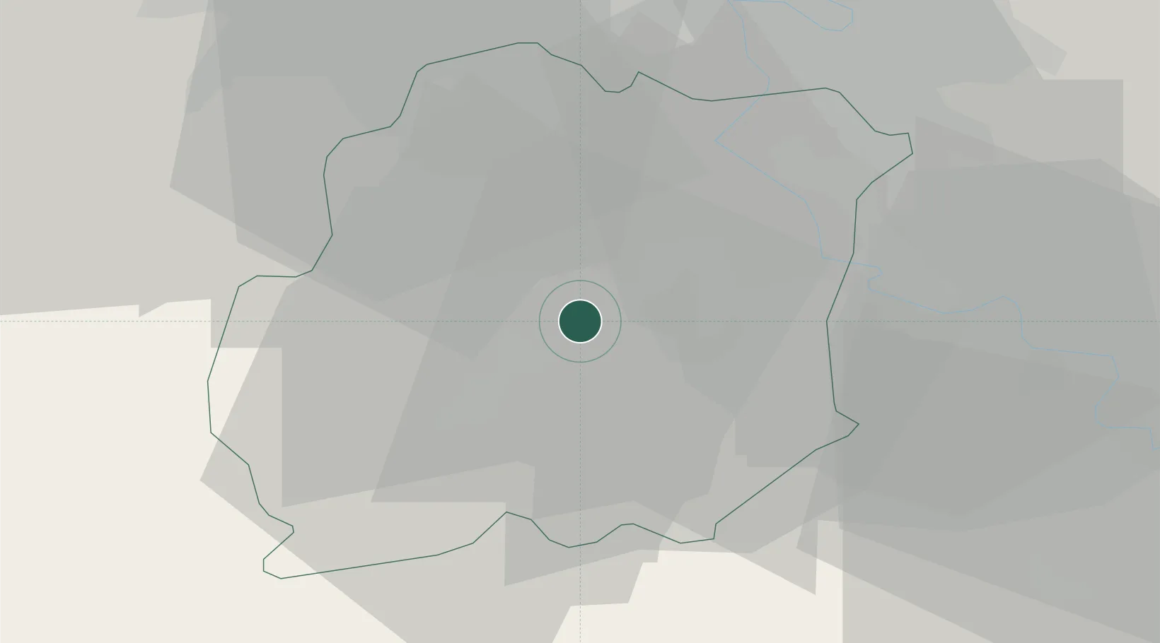
Populated place
Region
Île-de-France
Population
4,629
Time zone
Europe/Paris
Elevation
70 m
Location
Nearby Logistics Neighbours
Cities
- 1Étréchy5 km
- 2Boissy-le-Cutté6 km
- 3Marolles-en-Hurepoix6 km
- 4Leudeville7 km
- 5Cerny7 km
Ports
- 1Port Of Rouen136 km
- 2Dieppe179 km
- 3Honfleur180 km
- 4Le Treport184 km
- 5Deauville185 km
Airports
Trade Zones
- 1ZFU Corbeil-Evry15 km
- 2ZFU Grigny Viry-Châtillon19 km
- 3ZFU Epinay-sous-Sénart26 km
- 4ZFU Melun28 km
- 5ZFU Choisy-le-Roi et Orly29 km
DatabookThe Record of Consolidated Knowledge
France beyond logistics?