UN/LOCODE hub · France
FRSQC

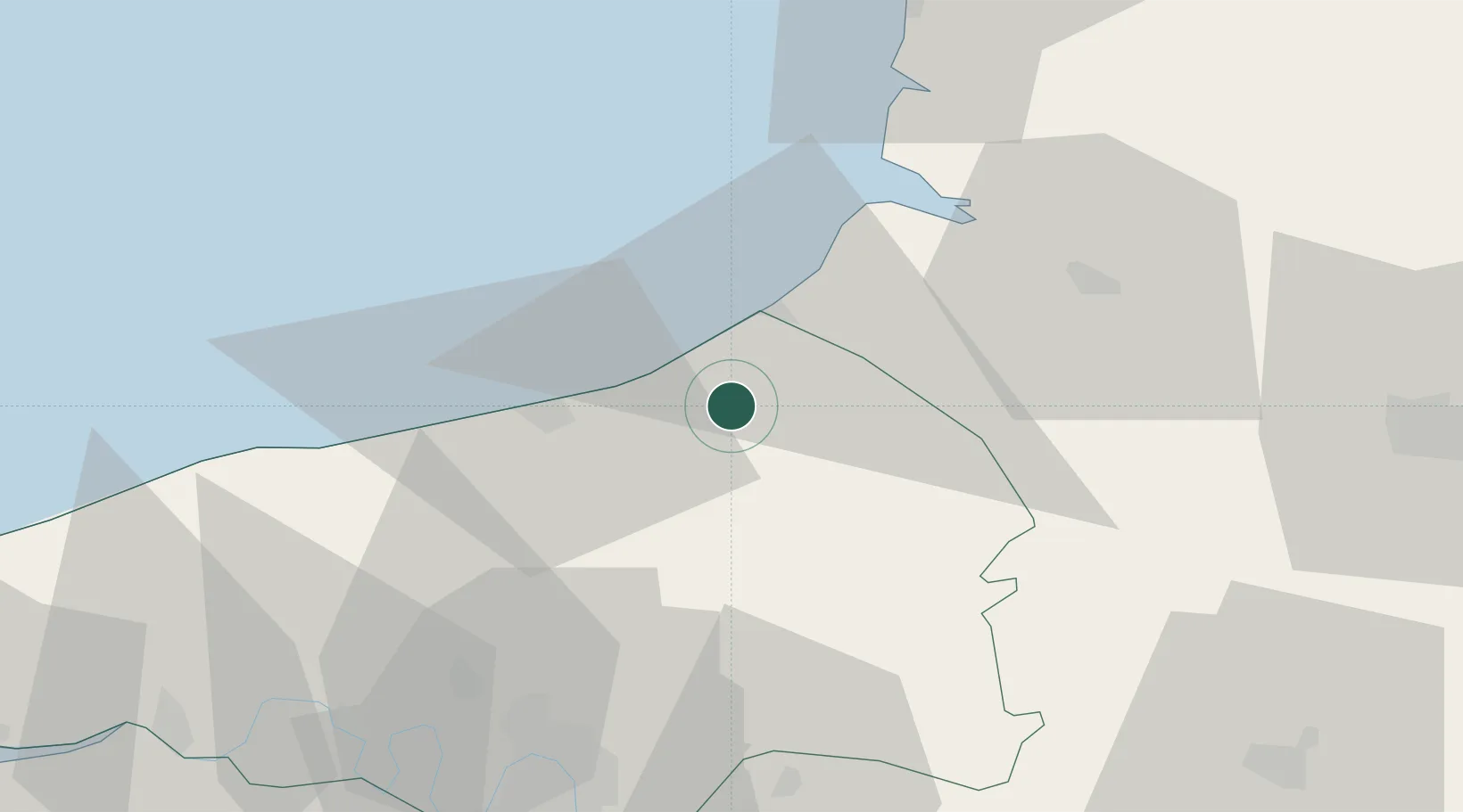
Saint-Quentin-au-Bosc

49.9333°, 1.3333°
90
Population
3
Transport functions

Transport Functions

Rail
Road
Multimodal
UN/LOCODE

Hub Profile

Place type
Populated place
GeoNames
Region
Normandy
GeoNames
Population
90
GeoNames
Time zone
Europe/Paris
GeoNames
Elevation
129 m
GeoNames

Location

Location of FRSQC
Natural Earth 10m (public domain) · Normandy · FRSQC · 49.93, 1.33GoogleOSMYandex

Nearby Logistics Neighbours

Cities
  1. 1Flocques11 km
  2. 2Étalondes12 km
  3. 3Martin-Église14 km
  4. 4Eu14 km
  5. 5Le Tréport15 km
Nearest neighbours — logibook spatial index (haversine) over the source coordinates
Ports
  1. 1Le Treport15 km
  2. 2Dieppe18 km
  3. 3Saint-Valery-Sur-Somme34 km
  4. 4Port Of Rouen57 km
  5. 5Fecamp72 km
Nearest neighbours — logibook spatial index (haversine) over the source coordinates
Airports
  1. 1Abbeville-Buigny Baie de Somme Airfield43 km
  2. 2Rouen Vallée de Seine Airport62 km
  3. 3Le Touquet-Côte d'Opale Airport68 km
  4. 4Amiens Glisy Airfield76 km
  5. 5Beauvais-Tillé airport77 km
Nearest neighbours — logibook spatial index (haversine) over the source coordinates
Trade Zones
  1. 1ZFU Rouen Bihorel55 km
  2. 2ZFU Amiens57 km
  3. 3ZFU Beauvais75 km
  4. 4ZFU Le Havre100 km
  5. 5ZFU Évreux102 km
Nearest neighbours — logibook spatial index (haversine) over the source coordinates
DatabookThe Record of Consolidated Knowledge
France beyond logistics?
Browse databook

All Sources

LocationsUN/LOCODE
UN/LOCODE — free
LocationsGeoNames
CC BY 4.0
Portsthe NGA World Port Index
Public domain (US gov)
AirportsOurAirports
Public domain
Trade Zonesthe World Bank SEZ database
CC BY 4.0
Trade ZonesOpen Zone Map
CC BY
← France locations