UN/LOCODE hub · France
FRRYG

le Château Renard

47.7667°, -1.5167°
2
Transport functions

Transport Functions

Port
Multimodal
UN/LOCODE

Hub Profile

Region
44
GeoNames

Location

Location of FRRYG
Natural Earth 10m (public domain) · 44 · FRRYG · 47.77, -1.52GoogleOSMYandex

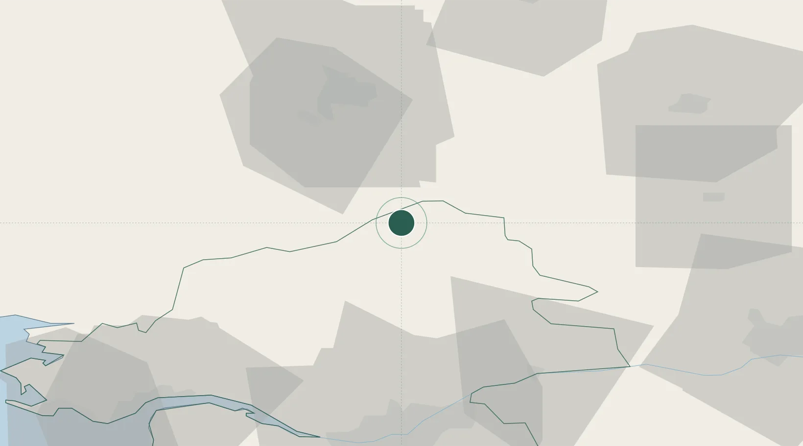
Nearby Logistics Neighbours

Cities
  1. 1Le Bignon5 km
  2. 2Cré9 km
  3. 3Louisfert13 km
  4. 4Martigné-Ferchaud17 km
  5. 5Issé17 km
Nearest neighbours — logibook spatial index (haversine) over the source coordinates
Ports
  1. 1Nantes63 km
  2. 2Donges66 km
  3. 3Montoir70 km
  4. 4St Nazaire74 km
  5. 5Saint-Malo105 km
Nearest neighbours — logibook spatial index (haversine) over the source coordinates
Airports
  1. 1Rennes-Saint-Jacques Airport37 km
  2. 2Laval-Entrammes Airport65 km
  3. 3Nantes Atlantique Airport69 km
  4. 4Saint-Nazaire-Montoir Airport70 km
  5. 5La Baule-Escoublac Airport82 km
Nearest neighbours — logibook spatial index (haversine) over the source coordinates
Trade Zones
  1. 1ZFU Nantes et Saint-Herblain62 km
  2. 2ZFU Angers76 km
  3. 3ZFU Saint-Nazaire79 km
  4. 4ZFU Le Mans125 km
  5. 5ZFU Alençon140 km
Nearest neighbours — logibook spatial index (haversine) over the source coordinates
DatabookThe Record of Consolidated Knowledge
France beyond logistics?
Browse databook

All Sources

LocationsUN/LOCODE
UN/LOCODE — free
Portsthe NGA World Port Index
Public domain (US gov)
AirportsOurAirports
Public domain
Trade Zonesthe World Bank SEZ database
CC BY 4.0
Trade ZonesOpen Zone Map
CC BY
← France locations