Transport Functions
Road
Multimodal
Hub Profile
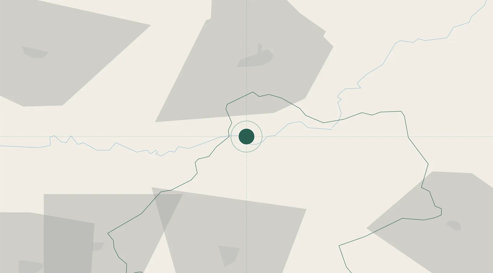
Place type
Populated place
Region
Nouvelle-Aquitaine
Time zone
Europe/Paris
Elevation
252 m
Location
Nearby Logistics Neighbours
Airports
Trade Zones
- 1ZFU Toulouse142 km
- 2ZFU Clermont-Ferrand159 km
- 3Port de Bordeaux160 km
- 4ZFU Hauts de Garonne164 km
- 5ZFU Béziers220 km
DatabookThe Record of Consolidated Knowledge
France beyond logistics?