Transport Functions
Port
Multimodal
Hub Profile
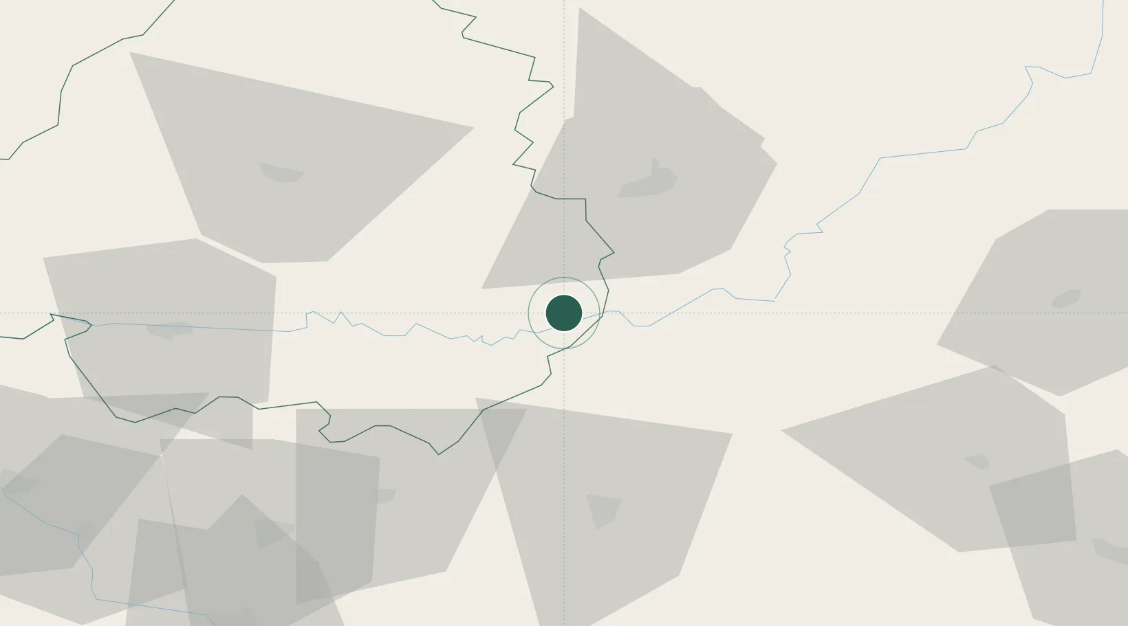
Place type
Populated place
Region
Nouvelle-Aquitaine
Population
663
Time zone
Europe/Paris
Elevation
171 m
Location
Nearby Logistics Neighbours
Cities
- 1Mareuil6 km
- 2Montazeau12 km
- 3Beynac-et-Cazenac17 km
- 4Baladou18 km
- 5Grèzes24 km
Airports
Trade Zones
- 1ZFU Toulouse142 km
- 2Port de Bordeaux149 km
- 3ZFU Hauts de Garonne152 km
- 4ZFU Clermont-Ferrand168 km
- 5ZFU Béziers228 km
DatabookThe Record of Consolidated Knowledge
France beyond logistics?