Transport Functions
Rail
Road
Hub Profile
Place type
Populated place
Region
Occitanie
Time zone
Europe/Paris
Elevation
150 m
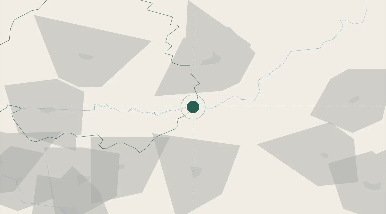
Location
Nearby Logistics Neighbours
Cities
- 1Carlux6 km
- 2Montazeau7 km
- 3Baladou13 km
- 4Beynac-et-Cazenac21 km
- 5Rignac24 km
Airports
Trade Zones
- 1ZFU Toulouse140 km
- 2Port de Bordeaux154 km
- 3ZFU Hauts de Garonne157 km
- 4ZFU Clermont-Ferrand165 km
- 5ZFU Béziers223 km
DatabookThe Record of Consolidated Knowledge
France beyond logistics?