Transport Functions
Road
Multimodal
Hub Profile
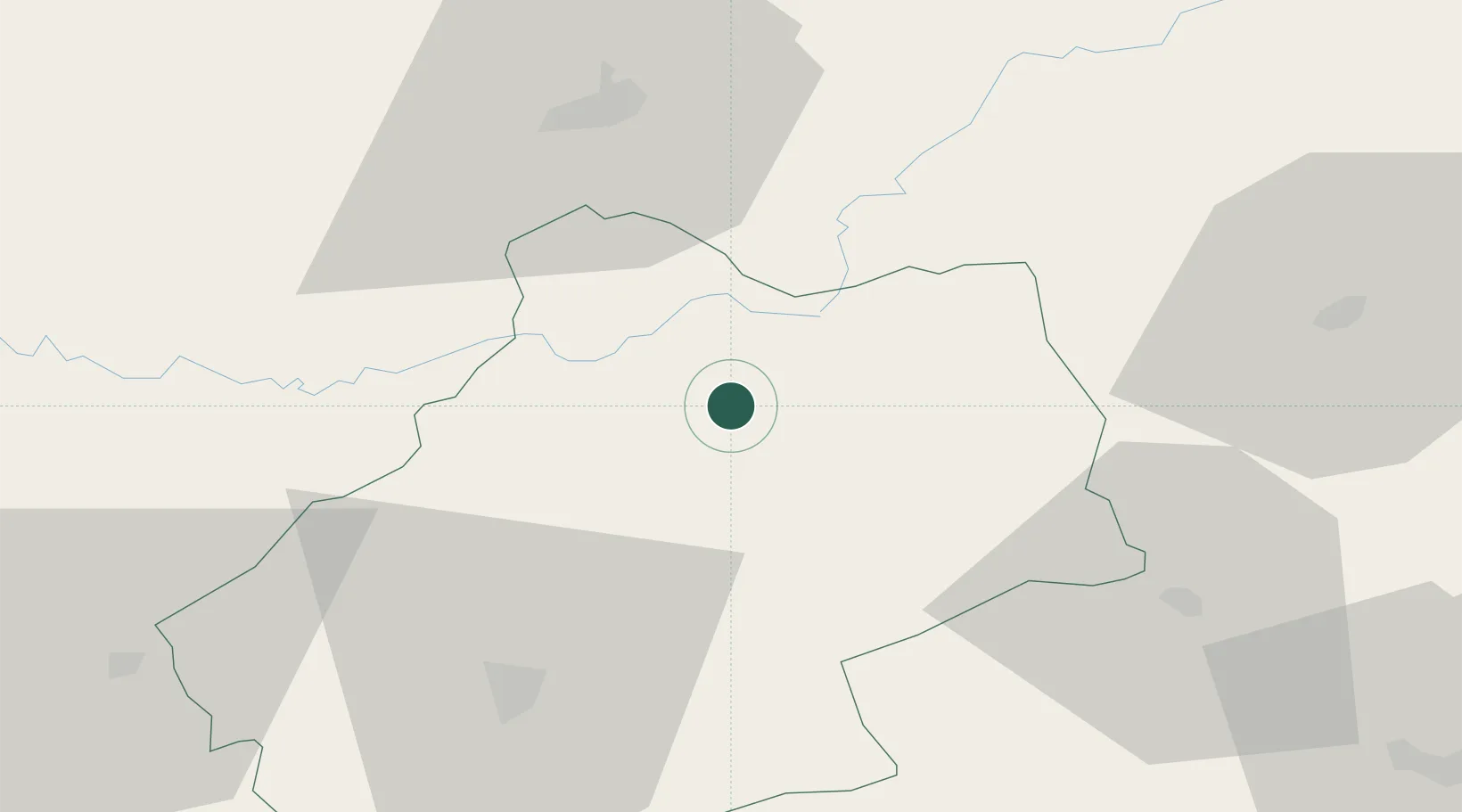
Place type
Populated place
Region
Occitanie
Time zone
Europe/Paris
Elevation
291 m
Location
Nearby Logistics Neighbours
Airports
- 1Brive Souillac airport32 km
- 2Cahors Lalbenque airport53 km
- 3Aurillac airport58 km
- 4Rodez–Aveyron Airport76 km
- 5Périgueux-Bassillac Airport82 km
Trade Zones
- 1ZFU Toulouse135 km
- 2ZFU Clermont-Ferrand154 km
- 3Port de Bordeaux177 km
- 4ZFU Hauts de Garonne180 km
- 5ZFU Béziers203 km
DatabookThe Record of Consolidated Knowledge
France beyond logistics?